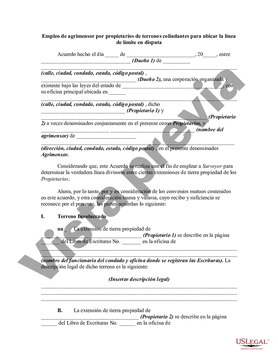
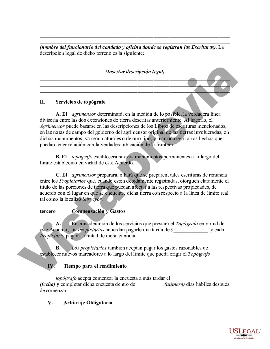
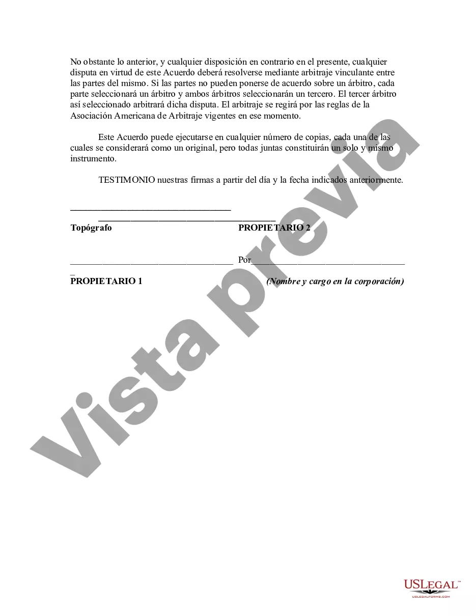
This is a generic sample of an agreement between two adjoining landowners to hire a surveyor to survey their lands in order to settle a dispute as to where the true boundary is regarding their properties.
Title: Harris Texas Employment of Surveyor by Adjoining Landowners to Locate Disputed Boundary Line | Comprehensive Guide and Types Introduction: The hiring of a surveyor is crucial when adjoining landowners in Harris, Texas, encounter boundary disputes. In these situations, a professional surveyor plays a vital role in accurately determining property boundaries. This detailed description will explore the importance of employing a surveyor, the process they follow, and the various types of boundary lines they deal with. Keywords: Harris Texas, employment of surveyor, adjoining landowners, disputed boundary line, property boundaries I. Importance of Hiring a Surveyor: 1. Legal Compliance: Relying on a professional surveyor ensures adherence to Texas laws and regulations governing boundary disputes between adjoining landowners. 2. Expertise and Reliability: Surveyors possess specialized knowledge and experience to accurately determine boundary lines, providing reliable evidence in legal proceedings. 3. Neutral Third-Party: Surveyors, acting as unbiased third parties, provide impartial assessments of disputed boundary lines, minimizing personal biases between landowners. 4. Avoiding Costly Litigation: Employing a surveyor can often help resolve disputes efficiently and prevent costly legal battles. II. The Employment Process: 1. Initial Consultation: The process begins with a consultation where landowners express concerns and provide relevant property documentation. 2. Field Investigation: A surveyor conducts a thorough investigation, including measurements, research, and analysis of property records, historical maps, and legal documents. 3. Boundary Determination: Utilizing advanced equipment and technologies, surveyors establish precise boundary lines, taking into account physical characteristics, existing markers, and legal descriptions. 4. Stake or Marker Placement: Disputed boundary lines are commonly marked with survey stakes or other visible markers to provide clarity. 5. Documentation and Reporting: A detailed report is prepared, documenting the findings, measurements, and evidence supporting boundary determinations. III. Types of Disputed Boundary Lines: 1. Natural Boundaries: Boundary disputes involving natural features, such as rivers, streams, or topographical points, require surveyors to determine the precise boundary location based on established legal principles. 2. Fenced or Built Boundaries: When landowners have erected fences, walls, or structures as boundary markers, a surveyor must evaluate whether these structures accurately represent the legal boundaries. 3. Unclear or Nonexistent Boundaries: In cases where there are no existing boundaries or unclear historical records, surveyors rely on various methodologies, such as metes and bounds or documentation, to establish accurate boundaries. 4. Overlapping Ownership Claims: Surveyors assist in resolving conflicts arising from overlapping ownership claims, ensuring fair and equitable division of land between disputing parties. Conclusion: Employing a surveyor is crucial when adjoining landowners in Harris, Texas, face boundary disputes. Their expertise, neutrality, and adherence to legal requirements help in accurately determining property boundaries, ensuring fair resolutions without resorting to costly litigation. Whether dealing with natural features, built boundaries, or unclear scenarios, surveyors play a vital role in establishing definitive boundary lines.Title: Harris Texas Employment of Surveyor by Adjoining Landowners to Locate Disputed Boundary Line | Comprehensive Guide and Types Introduction: The hiring of a surveyor is crucial when adjoining landowners in Harris, Texas, encounter boundary disputes. In these situations, a professional surveyor plays a vital role in accurately determining property boundaries. This detailed description will explore the importance of employing a surveyor, the process they follow, and the various types of boundary lines they deal with. Keywords: Harris Texas, employment of surveyor, adjoining landowners, disputed boundary line, property boundaries I. Importance of Hiring a Surveyor: 1. Legal Compliance: Relying on a professional surveyor ensures adherence to Texas laws and regulations governing boundary disputes between adjoining landowners. 2. Expertise and Reliability: Surveyors possess specialized knowledge and experience to accurately determine boundary lines, providing reliable evidence in legal proceedings. 3. Neutral Third-Party: Surveyors, acting as unbiased third parties, provide impartial assessments of disputed boundary lines, minimizing personal biases between landowners. 4. Avoiding Costly Litigation: Employing a surveyor can often help resolve disputes efficiently and prevent costly legal battles. II. The Employment Process: 1. Initial Consultation: The process begins with a consultation where landowners express concerns and provide relevant property documentation. 2. Field Investigation: A surveyor conducts a thorough investigation, including measurements, research, and analysis of property records, historical maps, and legal documents. 3. Boundary Determination: Utilizing advanced equipment and technologies, surveyors establish precise boundary lines, taking into account physical characteristics, existing markers, and legal descriptions. 4. Stake or Marker Placement: Disputed boundary lines are commonly marked with survey stakes or other visible markers to provide clarity. 5. Documentation and Reporting: A detailed report is prepared, documenting the findings, measurements, and evidence supporting boundary determinations. III. Types of Disputed Boundary Lines: 1. Natural Boundaries: Boundary disputes involving natural features, such as rivers, streams, or topographical points, require surveyors to determine the precise boundary location based on established legal principles. 2. Fenced or Built Boundaries: When landowners have erected fences, walls, or structures as boundary markers, a surveyor must evaluate whether these structures accurately represent the legal boundaries. 3. Unclear or Nonexistent Boundaries: In cases where there are no existing boundaries or unclear historical records, surveyors rely on various methodologies, such as metes and bounds or documentation, to establish accurate boundaries. 4. Overlapping Ownership Claims: Surveyors assist in resolving conflicts arising from overlapping ownership claims, ensuring fair and equitable division of land between disputing parties. Conclusion: Employing a surveyor is crucial when adjoining landowners in Harris, Texas, face boundary disputes. Their expertise, neutrality, and adherence to legal requirements help in accurately determining property boundaries, ensuring fair resolutions without resorting to costly litigation. Whether dealing with natural features, built boundaries, or unclear scenarios, surveyors play a vital role in establishing definitive boundary lines.
Para su conveniencia, debajo del texto en español le brindamos la versión completa de este formulario en inglés. For your convenience, the complete English version of this form is attached below the Spanish version.