Hawaii Survey Permit
Description

Get your form ready online
Our built-in tools help you complete, sign, share, and store your documents in one place.
Make edits, fill in missing information, and update formatting in US Legal Forms—just like you would in MS Word.
Download a copy, print it, send it by email, or mail it via USPS—whatever works best for your next step.
Sign and collect signatures with our SignNow integration. Send to multiple recipients, set reminders, and more. Go Premium to unlock E-Sign.
If this form requires notarization, complete it online through a secure video call—no need to meet a notary in person or wait for an appointment.
We protect your documents and personal data by following strict security and privacy standards.

Make edits, fill in missing information, and update formatting in US Legal Forms—just like you would in MS Word.

Download a copy, print it, send it by email, or mail it via USPS—whatever works best for your next step.

Sign and collect signatures with our SignNow integration. Send to multiple recipients, set reminders, and more. Go Premium to unlock E-Sign.

If this form requires notarization, complete it online through a secure video call—no need to meet a notary in person or wait for an appointment.

We protect your documents and personal data by following strict security and privacy standards.
Looking for another form?

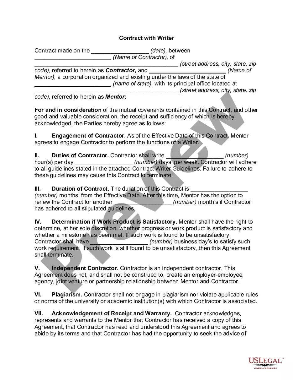

How to fill out Survey Permit?
You can devote hrs on the web looking for the legal record design that meets the federal and state demands you will need. US Legal Forms offers a huge number of legal varieties which can be examined by experts. It is simple to acquire or produce the Hawaii Survey Permit from the support.
If you have a US Legal Forms bank account, you can log in and then click the Down load switch. Next, you can total, change, produce, or signal the Hawaii Survey Permit. Each and every legal record design you purchase is yours for a long time. To obtain another copy of any obtained type, go to the My Forms tab and then click the related switch.
If you are using the US Legal Forms website the very first time, keep to the simple instructions under:
- Very first, be sure that you have selected the right record design to the area/town that you pick. Read the type outline to make sure you have selected the correct type. If accessible, take advantage of the Review switch to look throughout the record design at the same time.
- If you would like locate another edition of your type, take advantage of the Research area to find the design that meets your needs and demands.
- Once you have discovered the design you desire, click Purchase now to proceed.
- Pick the prices strategy you desire, key in your qualifications, and register for a free account on US Legal Forms.
- Full the deal. You can use your Visa or Mastercard or PayPal bank account to cover the legal type.
- Pick the structure of your record and acquire it for your device.
- Make changes for your record if possible. You can total, change and signal and produce Hawaii Survey Permit.
Down load and produce a huge number of record templates using the US Legal Forms Internet site, which provides the most important assortment of legal varieties. Use skilled and status-distinct templates to handle your company or person needs.
Form popularity
FAQ
Register map elements Base address: The first address in the memory space. Address size: the number of bits in an address, ultimately defining the maximum number of addressable memory units when combined with the base address. eg.
Yes, Registered Maps are old maps with assigned map numbers available on the website. Other maps are available in the Miscellaneous Maps and File Cartons sections of the website. Frequently Asked Questions (FAQ) hawaii.gov ? survey ? faq hawaii.gov ? survey ? faq
All persons wishing to collect forest items, such as ti leaves or bamboo, for personal or cultural use are required to obtain a collecting permit authorizing the collection in a specific area. Division of Forestry and Wildlife | Permit Guidelines hawaii.gov ? dofaw ? permits hawaii.gov ? dofaw ? permits
Property Size Property SizeCost Range½ acre$400?$7001 acre$500?$1,0005 acres$500?$1,50010 acres$1,000?$2,0004 more rows ? How Much Does a Land Survey Cost? (2023) - Today's Homeowner todayshomeowner.com ? lawn-garden ? land-surv... todayshomeowner.com ? lawn-garden ? land-surv...
1. Possess the proper education and/or experience as contained below; AND 2. Pass the NCEES, FS and PS exams or equivalent exams or document 15 years of experience in responsible charge; AND 3. Pass the Board-produced exam on Hawaii Description Writing. REQUIREMENTS FOR LICENSURE - SURVEYOR Department of Commerce and Consumer Affairs (.gov) ? pvl ? files ? 2017/12 ? Re... Department of Commerce and Consumer Affairs (.gov) ? pvl ? files ? 2017/12 ? Re... PDF
Mapping, any prescribed way of assigning to each object in one set a particular object in another (or the same) set. Mapping applies to any set: a collection of objects, such as all whole numbers, all the points on a line, or all those inside a circle.