Illinois Correction to Unit Designation to Correct Depth
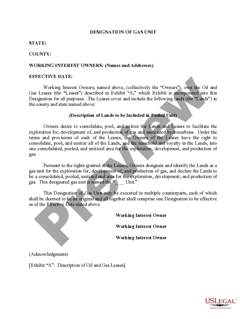
Description

How to fill out Correction To Unit Designation To Correct Depth?
You are able to commit hours on the web searching for the legitimate record template that suits the federal and state requirements you will need. US Legal Forms supplies a huge number of legitimate forms which are reviewed by specialists. It is possible to acquire or produce the Illinois Correction to Unit Designation to Correct Depth from our assistance.
If you currently have a US Legal Forms bank account, you may log in and click the Download option. Next, you may complete, change, produce, or sign the Illinois Correction to Unit Designation to Correct Depth. Each legitimate record template you purchase is yours permanently. To obtain one more copy for any bought develop, go to the My Forms tab and click the corresponding option.
If you are using the US Legal Forms web site initially, follow the easy recommendations listed below:
- First, ensure that you have selected the right record template for that area/metropolis that you pick. Read the develop description to ensure you have selected the proper develop. If offered, utilize the Preview option to search from the record template too.
- If you want to find one more version in the develop, utilize the Research industry to get the template that fits your needs and requirements.
- Once you have identified the template you want, click on Acquire now to proceed.
- Pick the costs strategy you want, type in your credentials, and register for a merchant account on US Legal Forms.
- Total the transaction. You should use your charge card or PayPal bank account to fund the legitimate develop.
- Pick the structure in the record and acquire it to the gadget.
- Make alterations to the record if necessary. You are able to complete, change and sign and produce Illinois Correction to Unit Designation to Correct Depth.
Download and produce a huge number of record templates making use of the US Legal Forms site, that offers the largest selection of legitimate forms. Use specialist and condition-distinct templates to handle your organization or individual requires.