This lease rider form may be used when you are involved in a lease transaction, and have made the decision to utilize the form of Oil and Gas Lease presented to you by the Lessee, and you want to include additional provisions to that Lease form to address specific concerns you may have, or place limitations on the rights granted the Lessee in the “standard” lease form.
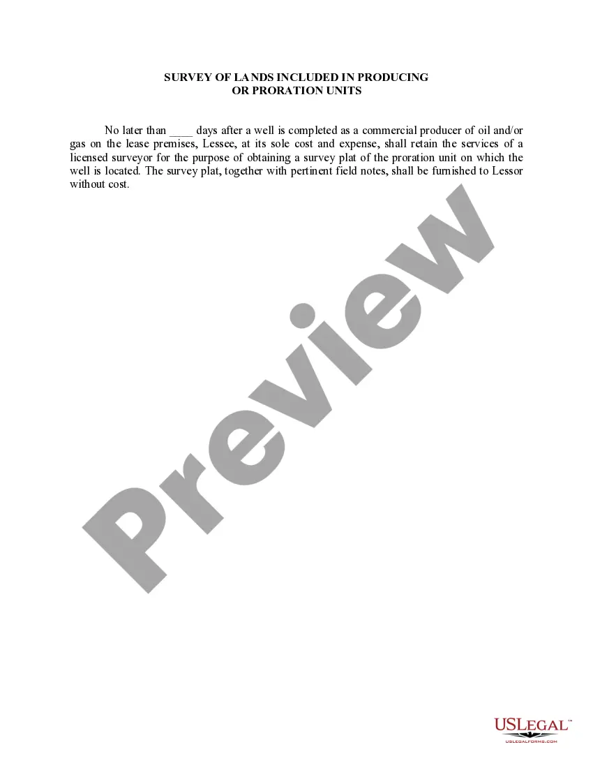
The Illinois Survey of Lands is an integral part of the process of producing or proration units within the state. It involves a detailed examination and classification of the land areas in Illinois for the purpose of oil and gas exploration, production, and distribution. The survey encompasses various types of lands, each with its own unique classification and characteristics. Some different types of Illinois Survey of Lands included in Producing Or Proration Units are: 1. Public Lands: These include federal, state, and local government-owned lands designated for oil and gas exploration and production. Public lands play a significant role in providing access to natural resources while ensuring proper environmental regulations. 2. Private Lands: This category includes privately owned lands that are leased or utilized for oil and gas activities. Private landowners enter into agreements with companies or operators for exploration or drilling operations, often under appropriate legal frameworks and industry guidelines. 3. Tribal Lands: In some cases, the Illinois Survey of Lands may encompass lands owned by Native American tribes. These lands are governed by tribal authorities, and their inclusion in producing or proration units will require collaboration and consent from the respective tribes. 4. Protected Lands: Illinois is home to several protected areas, such as national parks, wildlife refuges, and conservation areas. While these lands may be off-limits for oil and gas exploration, their proximity to producing units influences proration calculations and resource development strategies. 5. Reservoir and Geological Units: The survey also assesses the geological features and formations present in different areas of Illinois. This includes identifying potential oil and gas reservoirs, stratigraphic units, and structural characteristics that determine the viability of producing or proration units. The Illinois Survey of Lands involved in producing or proration units is a comprehensive process that aims to identify suitable land areas for oil and gas activities. It ensures that resource extraction is carried out responsibly while considering environmental, legal, and social factors.The Illinois Survey of Lands is an integral part of the process of producing or proration units within the state. It involves a detailed examination and classification of the land areas in Illinois for the purpose of oil and gas exploration, production, and distribution. The survey encompasses various types of lands, each with its own unique classification and characteristics. Some different types of Illinois Survey of Lands included in Producing Or Proration Units are: 1. Public Lands: These include federal, state, and local government-owned lands designated for oil and gas exploration and production. Public lands play a significant role in providing access to natural resources while ensuring proper environmental regulations. 2. Private Lands: This category includes privately owned lands that are leased or utilized for oil and gas activities. Private landowners enter into agreements with companies or operators for exploration or drilling operations, often under appropriate legal frameworks and industry guidelines. 3. Tribal Lands: In some cases, the Illinois Survey of Lands may encompass lands owned by Native American tribes. These lands are governed by tribal authorities, and their inclusion in producing or proration units will require collaboration and consent from the respective tribes. 4. Protected Lands: Illinois is home to several protected areas, such as national parks, wildlife refuges, and conservation areas. While these lands may be off-limits for oil and gas exploration, their proximity to producing units influences proration calculations and resource development strategies. 5. Reservoir and Geological Units: The survey also assesses the geological features and formations present in different areas of Illinois. This includes identifying potential oil and gas reservoirs, stratigraphic units, and structural characteristics that determine the viability of producing or proration units. The Illinois Survey of Lands involved in producing or proration units is a comprehensive process that aims to identify suitable land areas for oil and gas activities. It ensures that resource extraction is carried out responsibly while considering environmental, legal, and social factors.