Indiana Geoscience Operations on the Contract Area

State:
Multi-State
Control #:
US-OG-705
Format:
Word; 
Rich Text
Instant download

Description

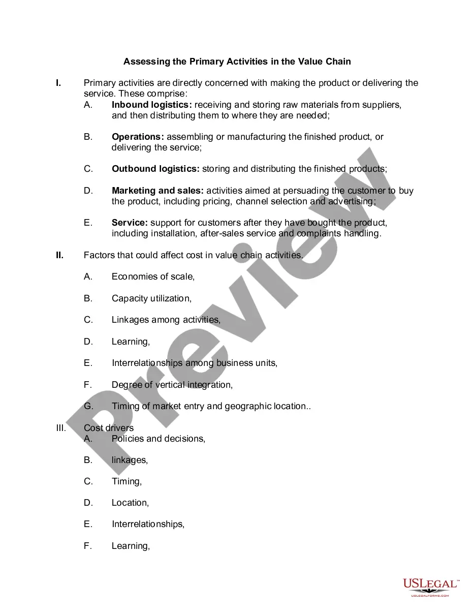
This form provides that any Party may propose that geoscience operations be conducted on the Contract Area lands. The Party wishing to conduct geoscience operations shall furnish the other Parties with an information notice which generally describes the proposed geoscience operation.

Indiana Geoscience Operations on the Contract Area refers to the activities and operations related to geoscience exploration, research, and monitoring conducted by various organizations in the state of Indiana. These operations play a crucial role in studying and understanding the geological and environmental aspects of the contract area. Geoscience operations in Indiana involve a wide range of disciplines and techniques aimed at investigating different geological phenomena, assessing natural resources, and understanding potential geological hazards. Relevant keywords for Indiana Geoscience Operations on the Contract Area include geology, geophysics, hydrology, seismology, stratigraphy, topography, geological mapping, environmental monitoring, and resource evaluation. The different types of Indiana Geoscience Operations on the Contract Area can be categorized as follows: 1. Geological Surveys: These operations involve the detailed mapping and analysis of the geological composition, structure, and history of the contract area. State and federal geological surveys, such as the Indiana Geological and Water Survey (IGAS), conduct extensive fieldwork, collect geospatial data, and create geological maps to provide comprehensive information about the region's geology. 2. Geohazard Assessment: Geoscience operations in Indiana also focus on studying and evaluating potential biohazards such as earthquakes, landslides, sinkholes, and flooding. Through geophysical surveys, seismic monitoring, and analyzing geological data, experts can assess the vulnerability and risk of these hazards in the contract area. 3. Resource Exploration: Geoscientists play a crucial role in the exploration and evaluation of various natural resources present within the contract area. This includes the study of mineral deposits, groundwater resources, petroleum reserves, and other valuable geological resources. Techniques like remote sensing, geochemical analysis, and geophysical surveys are employed to identify and assess these resources. 4. Environmental Monitoring: Geoscience operations in Indiana also encompass comprehensive environmental monitoring programs. This includes monitoring air and water quality, tracking changes in soil composition, evaluating ecosystem health, and assessing the impact of human activities on the environment. Geoscience techniques, such as geospatial analysis and remote sensing, aid in understanding and managing environmental changes. 5. Research and Education: Geoscience operations in Indiana contribute significantly to research and education. Through collaborations with universities and research institutions, geoscientists conduct studies on various geological processes, climate change impacts, and sustainable resource management. They also provide educational resources, workshops, and training programs to enhance public awareness and understanding of geology and its relevance. In summary, Indiana Geoscience Operations on the Contract Area involve a broad spectrum of activities focused on geological exploration, hazard assessment, resource evaluation, environmental monitoring, research, and education. These operations play a pivotal role in understanding the geological characteristics, natural resources, and potential hazards within the contract area, aiding in responsible land use planning, and promoting sustainable development strategies.

Indiana Geoscience Operations on the Contract Area refers to the activities and operations related to geoscience exploration, research, and monitoring conducted by various organizations in the state of Indiana. These operations play a crucial role in studying and understanding the geological and environmental aspects of the contract area. Geoscience operations in Indiana involve a wide range of disciplines and techniques aimed at investigating different geological phenomena, assessing natural resources, and understanding potential geological hazards. Relevant keywords for Indiana Geoscience Operations on the Contract Area include geology, geophysics, hydrology, seismology, stratigraphy, topography, geological mapping, environmental monitoring, and resource evaluation. The different types of Indiana Geoscience Operations on the Contract Area can be categorized as follows: 1. Geological Surveys: These operations involve the detailed mapping and analysis of the geological composition, structure, and history of the contract area. State and federal geological surveys, such as the Indiana Geological and Water Survey (IGAS), conduct extensive fieldwork, collect geospatial data, and create geological maps to provide comprehensive information about the region's geology. 2. Geohazard Assessment: Geoscience operations in Indiana also focus on studying and evaluating potential biohazards such as earthquakes, landslides, sinkholes, and flooding. Through geophysical surveys, seismic monitoring, and analyzing geological data, experts can assess the vulnerability and risk of these hazards in the contract area. 3. Resource Exploration: Geoscientists play a crucial role in the exploration and evaluation of various natural resources present within the contract area. This includes the study of mineral deposits, groundwater resources, petroleum reserves, and other valuable geological resources. Techniques like remote sensing, geochemical analysis, and geophysical surveys are employed to identify and assess these resources. 4. Environmental Monitoring: Geoscience operations in Indiana also encompass comprehensive environmental monitoring programs. This includes monitoring air and water quality, tracking changes in soil composition, evaluating ecosystem health, and assessing the impact of human activities on the environment. Geoscience techniques, such as geospatial analysis and remote sensing, aid in understanding and managing environmental changes. 5. Research and Education: Geoscience operations in Indiana contribute significantly to research and education. Through collaborations with universities and research institutions, geoscientists conduct studies on various geological processes, climate change impacts, and sustainable resource management. They also provide educational resources, workshops, and training programs to enhance public awareness and understanding of geology and its relevance. In summary, Indiana Geoscience Operations on the Contract Area involve a broad spectrum of activities focused on geological exploration, hazard assessment, resource evaluation, environmental monitoring, research, and education. These operations play a pivotal role in understanding the geological characteristics, natural resources, and potential hazards within the contract area, aiding in responsible land use planning, and promoting sustainable development strategies.

Free preview
  • Form preview
  • Form preview
  • Form preview

How to fill out Indiana Geoscience Operations On The Contract Area?

If you wish to comprehensive, acquire, or printing legal file layouts, use US Legal Forms, the biggest selection of legal kinds, which can be found on the Internet. Use the site`s basic and practical search to find the files you want. Various layouts for enterprise and person purposes are sorted by categories and states, or keywords. Use US Legal Forms to find the Indiana Geoscience Operations on the Contract Area in just a couple of mouse clicks.

If you are previously a US Legal Forms client, log in to the account and click on the Down load option to get the Indiana Geoscience Operations on the Contract Area. You may also access kinds you in the past downloaded in the My Forms tab of your respective account.

If you use US Legal Forms the very first time, follow the instructions listed below:

  • Step 1. Be sure you have selected the form for the appropriate area/nation.
  • Step 2. Utilize the Preview option to look over the form`s articles. Don`t forget to see the outline.
  • Step 3. If you are unhappy using the form, utilize the Search industry towards the top of the display screen to locate other types of the legal form web template.
  • Step 4. After you have identified the form you want, click on the Purchase now option. Choose the pricing strategy you prefer and put your accreditations to sign up for an account.
  • Step 5. Process the deal. You may use your charge card or PayPal account to accomplish the deal.
  • Step 6. Pick the format of the legal form and acquire it on your own gadget.
  • Step 7. Comprehensive, revise and printing or indication the Indiana Geoscience Operations on the Contract Area.

Every single legal file web template you get is your own property forever. You have acces to every single form you downloaded inside your acccount. Click the My Forms area and select a form to printing or acquire once again.

Contend and acquire, and printing the Indiana Geoscience Operations on the Contract Area with US Legal Forms. There are millions of specialist and state-specific kinds you may use for your enterprise or person needs.

Trusted and secure by over 3 million people of the world’s leading companies

Indiana Geoscience Operations on the Contract Area