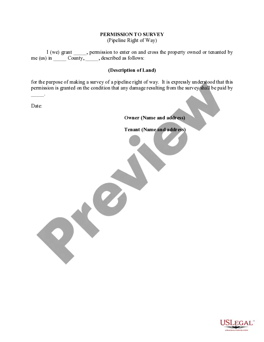
Kansas Permission to Survey (Pipeline Right of Way) is a legal document that grants permission for land surveyors to assess and analyze the area designated for a potential oil or gas pipeline installation. This document is crucial in the initial stages of pipeline development as it allows surveyors to gather accurate information about the terrain, geology, and environmental conditions within the proposed right of way. The Kansas Permission to Survey (Pipeline Right of Way) is an essential step for energy companies and surveying professionals to ensure compliance with state regulations and obtain the necessary data for project planning and design. This permission allows surveyors to access private or public lands for surveying activities, enabling them to assess feasibility and potential impacts of a proposed pipeline route. When it comes to different types of Kansas Permission to Survey (Pipeline Right of Way), there are variations based on the nature of the land involved. These include: 1. Private Land Permission: This type of permission is required when the proposed pipeline route traverses privately owned properties. Surveyors must obtain consent from landowners to access their land and conduct surveys. 2. Public Land Permission: For pipeline projects that cut through public lands, such as state parks or recreational areas, surveyors must obtain permission from the appropriate government authorities or agencies responsible for managing those lands. 3. Cross-Boundary Permission: In cases where the pipeline route crosses jurisdictional boundaries, such as county lines or city limits, surveyors are required to seek permissions from the relevant entities in each jurisdiction. 4. Indigenous Land Permission: If a proposed pipeline route intersects with lands owned or traditionally occupied by Indigenous communities, additional permission and consultation may be required in accordance with tribal sovereignty and federal regulations, such as the Native American Graves Protection and Repatriation Act (NAG PRA) and the National Historic Preservation Act (NPA). In conclusion, the Kansas Permission to Survey (Pipeline Right of Way) is a vital document that grants surveyors the authority to assess potential pipeline routes. It ensures compliance with state regulations and allows surveyors to gather necessary data for project planning. Different types of permissions may be required depending on whether the land is private, public, crosses jurisdictional boundaries, or involves Indigenous communities.
Kansas Permission to Survey (Pipeline Right of Way)
Description


How to fill out Kansas Permission To Survey (Pipeline Right Of Way)?
You are able to invest several hours on the Internet trying to find the legitimate papers format that suits the state and federal requirements you will need. US Legal Forms offers thousands of legitimate forms which are evaluated by pros. It is simple to acquire or produce the Kansas Permission to Survey (Pipeline Right of Way) from my assistance.
If you have a US Legal Forms account, you are able to log in and click the Acquire switch. Next, you are able to comprehensive, edit, produce, or sign the Kansas Permission to Survey (Pipeline Right of Way). Each legitimate papers format you get is your own property for a long time. To have one more backup associated with a obtained form, go to the My Forms tab and click the related switch.
Should you use the US Legal Forms web site initially, stick to the straightforward directions below:
- Initial, make certain you have selected the proper papers format for that region/city of your choosing. Look at the form outline to ensure you have selected the appropriate form. If accessible, utilize the Preview switch to appear with the papers format at the same time.
- If you want to discover one more variation of the form, utilize the Research discipline to discover the format that fits your needs and requirements.
- When you have found the format you would like, simply click Get now to carry on.
- Pick the prices prepare you would like, type your qualifications, and sign up for your account on US Legal Forms.
- Comprehensive the transaction. You should use your bank card or PayPal account to cover the legitimate form.
- Pick the formatting of the papers and acquire it to the system.
- Make modifications to the papers if possible. You are able to comprehensive, edit and sign and produce Kansas Permission to Survey (Pipeline Right of Way).
Acquire and produce thousands of papers web templates utilizing the US Legal Forms website, which offers the greatest collection of legitimate forms. Use expert and condition-specific web templates to handle your business or specific requires.
Form popularity
FAQ
During the pipeline right-of-way surveying process, it's important that you gather detailed information about the proposed route quickly. This can be accomplished using a modern land surveying technology such as unmanned aerial vehicles (UAVs).
Mainline pipes, the principal pipeline in a given system, are usually between 16 and 48 inches in diameter. Lateral pipelines, which deliver natural gas to or from the mainline, are typically between 6 and 16 inches in diameter. Most major interstate pipelines are between 24 and 36 inches in diameter.
Natural gas pipelines do not affect the property value of any particular type of residence any more or less than another type of residence.
Pipeline route surveys are performed to determine the feasibility of a proposed pipeline route and to identify any potential environmental or social impacts that may affect its construction and operation.
What you need to know. A pipeline right-of-way (ROW) is a strip of land of varying widths that may contain one or more pipelines. To deliver critically needed natural gas via our network, Enbridge must at times cross private and public lands.
ofway is a strip of land typically about 50 feet wide (depending on location) containing a pipeline or other utility. Many rightsofway contain more than one underground pipeline or utility and can be wider depending on the number of infrastructure assets within.
Pipeline Right-of-Ways When a pipeline is first constructed the pipeline owner obtains a contract with the property owner allowing them to use the land for their pipeline. These contracts are referred to as easements, or right-of-ways.