This lease rider form may be used when you are involved in a lease transaction, and have made the decision to utilize the form of Oil and Gas Lease presented to you by the Lessee, and you want to include additional provisions to that Lease form to address specific concerns you may have, or place limitations on the rights granted the Lessee in the “standard” lease form.
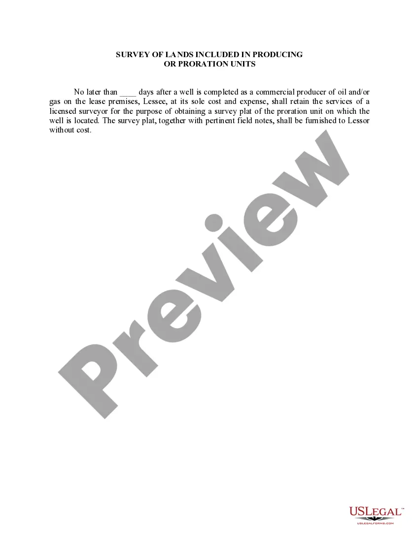
The Louisiana Survey of Lands is an essential element in the process of Producing Or Proration Units within the state of Louisiana. It is a comprehensive and intricate land survey system that plays a crucial role in the allocation and management of mineral resources. This system divides the state's land into distinct areas, each designated for oil and gas production or proration purposes. The survey system ensures fairness and accuracy in determining ownership, boundaries, and resource management within these designated areas. There are various types of surveys included in the Louisiana Survey of Lands, each serving its specific purpose. These include: 1. Township and Range Surveys: The primary method of dividing land in Louisiana, these surveys establish a grid-like system based on principal meridians and baselines. Each township is further divided into sections, allowing for systematic identification and management of land parcels. 2. Mineral Unit Surveys: These surveys focus specifically on areas with potential mineral resources. Their purpose is to define the boundaries of individual producing or proration units within a particular formation or reservoir. This ensures accurate measurement and allocation of resources to respective leaseholders or operators. 3. Well Location Surveys: Well location surveys are conducted to establish the exact position of oil or gas wells within a producing or proration unit. These surveys are vital for drilling operations, determining proximity to boundaries, and ensuring compliance with regulatory requirements. 4. Unitization Surveys: Unitization surveys play a crucial role in the creation of pooled production or proration units. These surveys aid in determining the boundaries and allocation requirements for units that combine multiple leaseholds or interests. Unitization helps maximize production efficiency and minimizes waste in resource extraction. The Louisiana Survey of Lands is a meticulous and complex system that provides the necessary framework for organized and efficient resource management. It ensures equitable distribution of rights, prevents overlap or conflicts, and promotes responsible production practices within the state's oil and gas industry.The Louisiana Survey of Lands is an essential element in the process of Producing Or Proration Units within the state of Louisiana. It is a comprehensive and intricate land survey system that plays a crucial role in the allocation and management of mineral resources. This system divides the state's land into distinct areas, each designated for oil and gas production or proration purposes. The survey system ensures fairness and accuracy in determining ownership, boundaries, and resource management within these designated areas. There are various types of surveys included in the Louisiana Survey of Lands, each serving its specific purpose. These include: 1. Township and Range Surveys: The primary method of dividing land in Louisiana, these surveys establish a grid-like system based on principal meridians and baselines. Each township is further divided into sections, allowing for systematic identification and management of land parcels. 2. Mineral Unit Surveys: These surveys focus specifically on areas with potential mineral resources. Their purpose is to define the boundaries of individual producing or proration units within a particular formation or reservoir. This ensures accurate measurement and allocation of resources to respective leaseholders or operators. 3. Well Location Surveys: Well location surveys are conducted to establish the exact position of oil or gas wells within a producing or proration unit. These surveys are vital for drilling operations, determining proximity to boundaries, and ensuring compliance with regulatory requirements. 4. Unitization Surveys: Unitization surveys play a crucial role in the creation of pooled production or proration units. These surveys aid in determining the boundaries and allocation requirements for units that combine multiple leaseholds or interests. Unitization helps maximize production efficiency and minimizes waste in resource extraction. The Louisiana Survey of Lands is a meticulous and complex system that provides the necessary framework for organized and efficient resource management. It ensures equitable distribution of rights, prevents overlap or conflicts, and promotes responsible production practices within the state's oil and gas industry.