Title: Understanding Massachusetts Correction to Unit Designation to Correct Depth: Exploring Types and Benefits Introduction: Massachusetts Correction to Unit Designation to Correct Depth is a crucial process in ensuring accurate measurements and designations of units' depths within various sectors. Whether it's in construction, engineering, or surveying, correcting unit designations to the correct depth is paramount for accurate planning and execution. In this article, we will delve into the different types of correction methods employed in Massachusetts, their significance, and the benefits they offer. 1. Importance of Correcting Unit Designation to Correct Depth: Accurate depth designations are critical to ensure proper functioning and safety in various scenarios. From ensuring the structural integrity of buildings to maintaining accurate elevations in civil engineering projects, correcting unit designations is a necessary step. Failure to address these issues can lead to costly delays, compromised safety, and inaccurate project results. 2. Types of Massachusetts Correction to Unit Designation to Correct Depth: a) Expert Surveyor Analysis: One method utilized in Massachusetts correction to unit designation is through expert surveyor analysis. Leveraging advanced surveying equipment and techniques, expert surveyors accurately measure the depth of each unit, cross-referencing it with the intended specifications. This approach helps identify any deviations or errors in unit designation, enabling prompt corrections. b) LiDAR Technology: Another cutting-edge method used in Massachusetts correction to unit designation is Light Detection and Ranging (LiDAR) technology. LiDAR's systems use lasers to accurately measure distances, enabling precise depth calculations. This technology allows for efficient and detailed measurements, capturing even complex landscapes with exceptional accuracy. c) Geodetic Surveys: Geodetic surveys play a vital role in correcting unit designations, especially across large-scale projects such as highways, pipelines, or utility networks. These surveys utilize satellite-based positioning systems to establish accurate positions and elevations, streamlining the correction process across vast areas. d) Automated Data Processing: To expedite the correction process, automated data processing tools are being employed in Massachusetts. These tools analyze collected data and compare it against established standards, promptly identifying any deviations in unit designation and depth. This method ensures efficiency, accuracy, and consistency throughout the correction process. 3. Benefits of Massachusetts Correction to Unit Designation to Correct Depth: a) Enhanced Safety: By ensuring accurate depth designations, Massachusetts correction methods mitigate safety risks and potential hazards during construction and engineering projects. Accurate depth measurements prevent unforeseen issues such as foundation weaknesses, unstable soil conditions, or improper utility installations. b) Cost and Time Savings: By proactively addressing unit designation errors, projects can avoid costly rework or delays. Accurate depth correction ensures seamless project execution, eliminating the need for expensive revisions and allowing timelines to be met more efficiently. c) Compliance with Regulations: Correcting unit designations in Massachusetts ensures compliance with local and national regulations. Maintaining accurate depths is particularly crucial in industries like infrastructure development or environmental projects where adherence to regulatory requirements is mandatory. d) Improved Project Outcomes: Accurate unit designation correction translates into better project outcomes. Whether it's constructing a building, restoring historical sites, or overseeing ecological restoration projects, precise depth measurements guarantee optimal results, satisfying stakeholders' expectations. Conclusion: Massachusetts Correction to Unit Designation to Correct Depth encompasses various methodologies, including expert surveyor analysis, LiDAR technology, geodetic surveys, and automated data processing. These approaches ensure accurate depth measurements, adhering to regulations, improving safety, reducing costs, and enhancing project outcomes. By paying due attention to correcting unit designations, Massachusetts aims to establish itself as a leader in efficient project execution and infrastructure development.
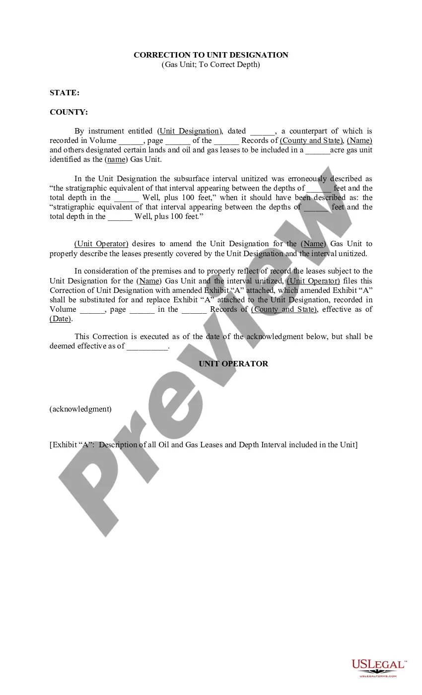
Massachusetts Correction to Unit Designation to Correct Depth
Description
How to fill out Massachusetts Correction To Unit Designation To Correct Depth?
US Legal Forms - among the most significant libraries of legitimate forms in America - offers an array of legitimate record templates you may acquire or print out. Utilizing the website, you may get a huge number of forms for enterprise and individual functions, categorized by types, states, or keywords.You will find the most up-to-date versions of forms like the Massachusetts Correction to Unit Designation to Correct Depth in seconds.
If you already have a membership, log in and acquire Massachusetts Correction to Unit Designation to Correct Depth through the US Legal Forms library. The Down load key will show up on every develop you view. You gain access to all in the past acquired forms in the My Forms tab of your respective account.
If you wish to use US Legal Forms the first time, listed below are basic instructions to get you started out:
- Make sure you have chosen the proper develop for the city/area. Select the Review key to analyze the form`s content material. Look at the develop explanation to actually have selected the correct develop.
- When the develop does not fit your specifications, make use of the Lookup industry at the top of the screen to discover the one who does.
- If you are satisfied with the shape, affirm your selection by visiting the Buy now key. Then, opt for the rates strategy you prefer and give your qualifications to sign up for the account.
- Approach the purchase. Make use of credit card or PayPal account to accomplish the purchase.
- Choose the format and acquire the shape on your gadget.
- Make changes. Load, modify and print out and signal the acquired Massachusetts Correction to Unit Designation to Correct Depth.
Each and every web template you put into your account does not have an expiry day and it is your own property for a long time. So, in order to acquire or print out one more duplicate, just proceed to the My Forms segment and click on the develop you require.
Get access to the Massachusetts Correction to Unit Designation to Correct Depth with US Legal Forms, probably the most comprehensive library of legitimate record templates. Use a huge number of professional and state-particular templates that meet your business or individual requirements and specifications.