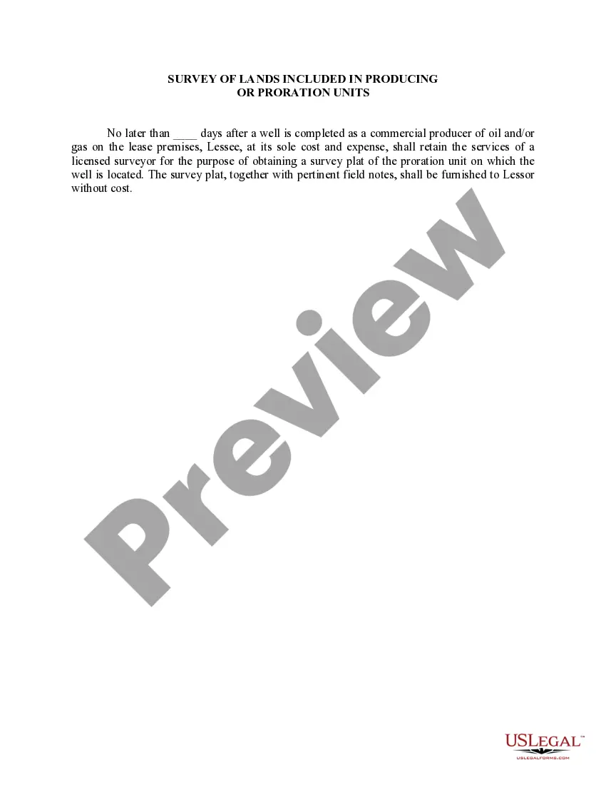
This lease rider form may be used when you are involved in a lease transaction, and have made the decision to utilize the form of Oil and Gas Lease presented to you by the Lessee, and you want to include additional provisions to that Lease form to address specific concerns you may have, or place limitations on the rights granted the Lessee in the “standard” lease form.
Maine Survey of Lands, also known as the Maine Land Survey, is a comprehensive process of mapping and surveying the various types of land in the state of Maine. This survey is conducted to create Producing or Proration Units, which are geographical areas designated for the exploration and production of oil, gas, or other natural resources. The Maine Survey of Lands plays a crucial role in identifying and delineating the boundaries of specific units within which resource extraction activities can take place. These units are carefully established to ensure fair distribution and effective management of the state's natural resources. There are several types of Maine Survey of Lands included in Producing or Proration Units, namely: 1. Geodetic Survey: This type of survey involves measurements made with reference to the Earth's curvature, shape, and size. It focuses on establishing precise horizontal and vertical positions of control points on the land, which are then used as reference markers for subsequent surveys. 2. Topographic Survey: This survey aims to capture the physical features and terrain of the land, including details such as elevation, contours, vegetation, water bodies, and man-made structures. It provides valuable information for designing and planning resource extraction operations. 3. Boundary Survey: This survey is conducted to determine and mark the boundaries of specific tracts of land. It involves defining property lines, corners, and identifying any encroachments or discrepancies. Boundary surveys are essential for establishing legal ownership and resolving property disputes. 4. Cadastral Survey: This survey is concerned with creating and maintaining a public record of land ownership, property boundaries, and rights associated with the land. It plays a critical role in land administration, taxation, and resource management. 5. Environmental Survey: This type of survey focuses on studying and assessing the environmental conditions and potential impacts of resource extraction activities. It includes analyzing soil composition, vegetation, wildlife habitats, water quality, and other ecological factors. Environmental surveys assist in developing sustainable practices and mitigating any adverse effects on the environment. Overall, the Maine Survey of Lands included in Producing or Proration Units combines various surveys to ensure a thorough understanding of the land's characteristics, boundaries, and environmental considerations. It aids in the effective allocation and utilization of Maine's natural resources while considering ecological conservation and sustainable development.Maine Survey of Lands, also known as the Maine Land Survey, is a comprehensive process of mapping and surveying the various types of land in the state of Maine. This survey is conducted to create Producing or Proration Units, which are geographical areas designated for the exploration and production of oil, gas, or other natural resources. The Maine Survey of Lands plays a crucial role in identifying and delineating the boundaries of specific units within which resource extraction activities can take place. These units are carefully established to ensure fair distribution and effective management of the state's natural resources. There are several types of Maine Survey of Lands included in Producing or Proration Units, namely: 1. Geodetic Survey: This type of survey involves measurements made with reference to the Earth's curvature, shape, and size. It focuses on establishing precise horizontal and vertical positions of control points on the land, which are then used as reference markers for subsequent surveys. 2. Topographic Survey: This survey aims to capture the physical features and terrain of the land, including details such as elevation, contours, vegetation, water bodies, and man-made structures. It provides valuable information for designing and planning resource extraction operations. 3. Boundary Survey: This survey is conducted to determine and mark the boundaries of specific tracts of land. It involves defining property lines, corners, and identifying any encroachments or discrepancies. Boundary surveys are essential for establishing legal ownership and resolving property disputes. 4. Cadastral Survey: This survey is concerned with creating and maintaining a public record of land ownership, property boundaries, and rights associated with the land. It plays a critical role in land administration, taxation, and resource management. 5. Environmental Survey: This type of survey focuses on studying and assessing the environmental conditions and potential impacts of resource extraction activities. It includes analyzing soil composition, vegetation, wildlife habitats, water quality, and other ecological factors. Environmental surveys assist in developing sustainable practices and mitigating any adverse effects on the environment. Overall, the Maine Survey of Lands included in Producing or Proration Units combines various surveys to ensure a thorough understanding of the land's characteristics, boundaries, and environmental considerations. It aids in the effective allocation and utilization of Maine's natural resources while considering ecological conservation and sustainable development.