Mississippi Permission to Survey (Pipeline Right of Way)
Description
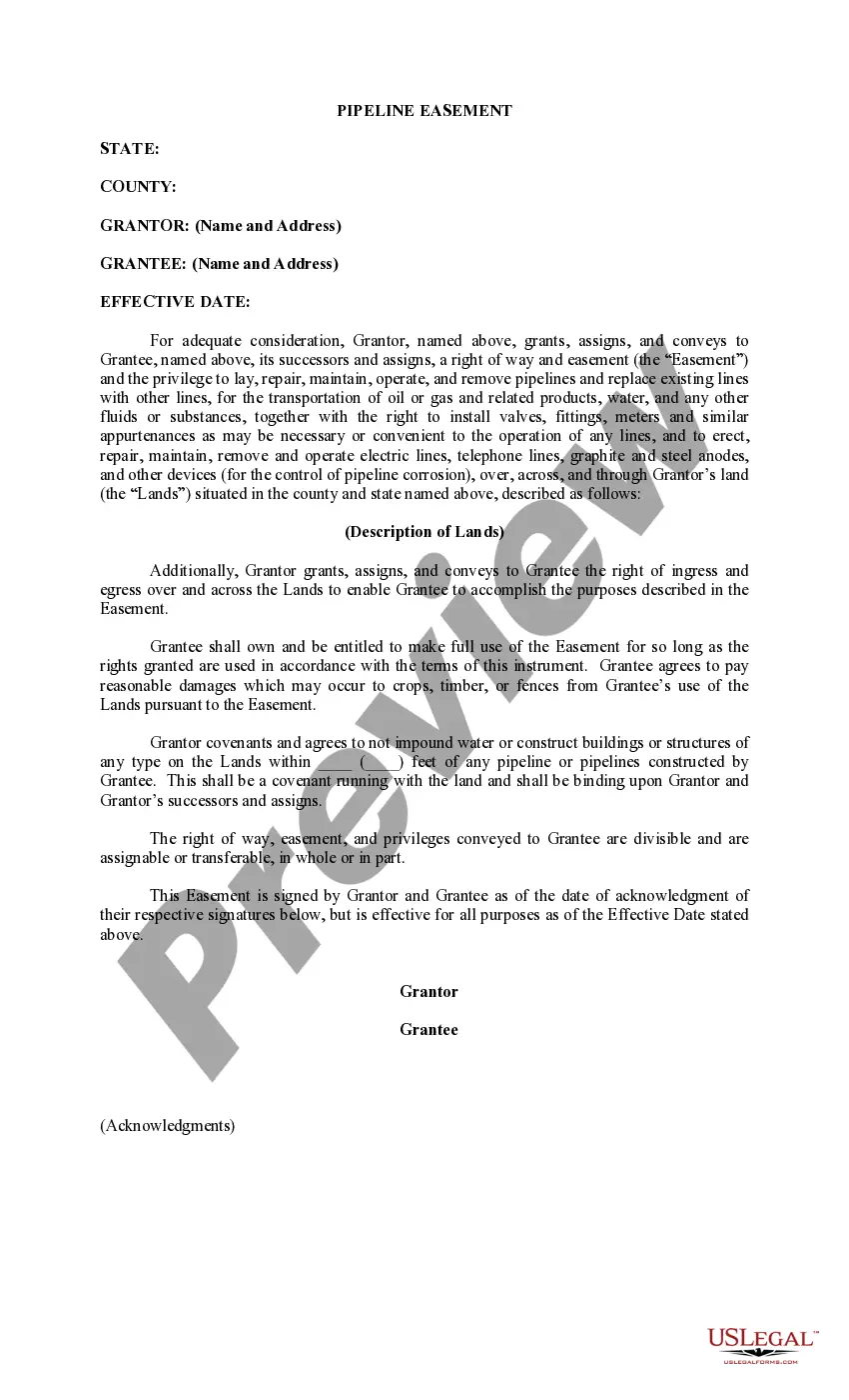
How to fill out Permission To Survey (Pipeline Right Of Way)?
Discovering the right lawful papers design can be quite a have difficulties. Naturally, there are tons of web templates available on the net, but how can you obtain the lawful kind you need? Make use of the US Legal Forms site. The service gives a large number of web templates, such as the Mississippi Permission to Survey (Pipeline Right of Way), that you can use for organization and private requires. Each of the forms are examined by professionals and meet up with federal and state demands.
In case you are already signed up, log in to the accounts and click on the Acquire option to have the Mississippi Permission to Survey (Pipeline Right of Way). Utilize your accounts to look throughout the lawful forms you may have bought previously. Proceed to the My Forms tab of the accounts and obtain yet another version in the papers you need.
In case you are a whole new customer of US Legal Forms, allow me to share straightforward recommendations that you can stick to:
- Very first, ensure you have selected the proper kind for the town/county. You may look over the shape while using Preview option and look at the shape description to make sure it will be the best for you.
- In case the kind will not meet up with your expectations, make use of the Seach area to obtain the correct kind.
- When you are certain the shape is suitable, click on the Get now option to have the kind.
- Pick the pricing plan you need and enter the necessary details. Create your accounts and pay money for an order making use of your PayPal accounts or charge card.
- Choose the data file file format and obtain the lawful papers design to the gadget.
- Total, change and produce and indication the acquired Mississippi Permission to Survey (Pipeline Right of Way).
US Legal Forms is definitely the largest local library of lawful forms that you can discover various papers web templates. Make use of the service to obtain skillfully-made documents that stick to state demands.
Form popularity
FAQ
Compilation Surveys, or Class ?D? Maps, can be prepared when there is sufficient existing mapping around the entire subject property. This mapping may include information in the form of actual survey maps or adequate boundary descriptions in deeds.
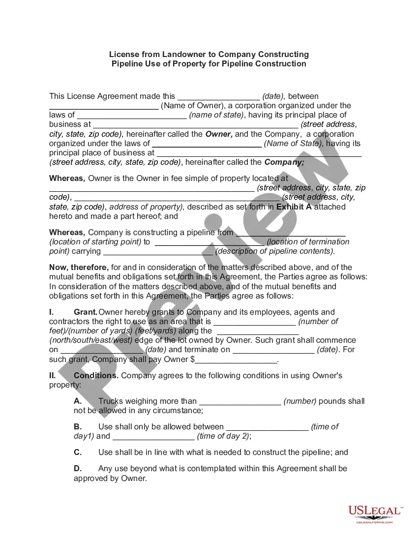
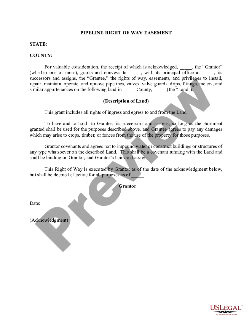
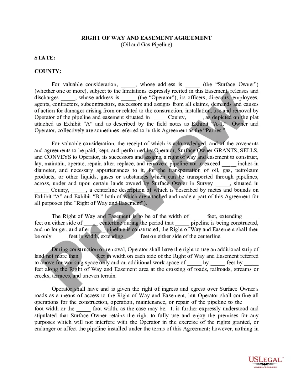
What you need to know. A pipeline right-of-way (ROW) is a strip of land of varying widths that may contain one or more pipelines. To deliver critically needed natural gas via our network, Enbridge must at times cross private and public lands.
The chances of a pipeline leak or explosion on your property is relatively small, but the consequences can be huge. Knowing what to do, and what not to do, could save your life.
There are no rules restricting building homes or even campsites within the radius, or ?blast zone.? And companies can their pipelines within the blast radius of a house or school.
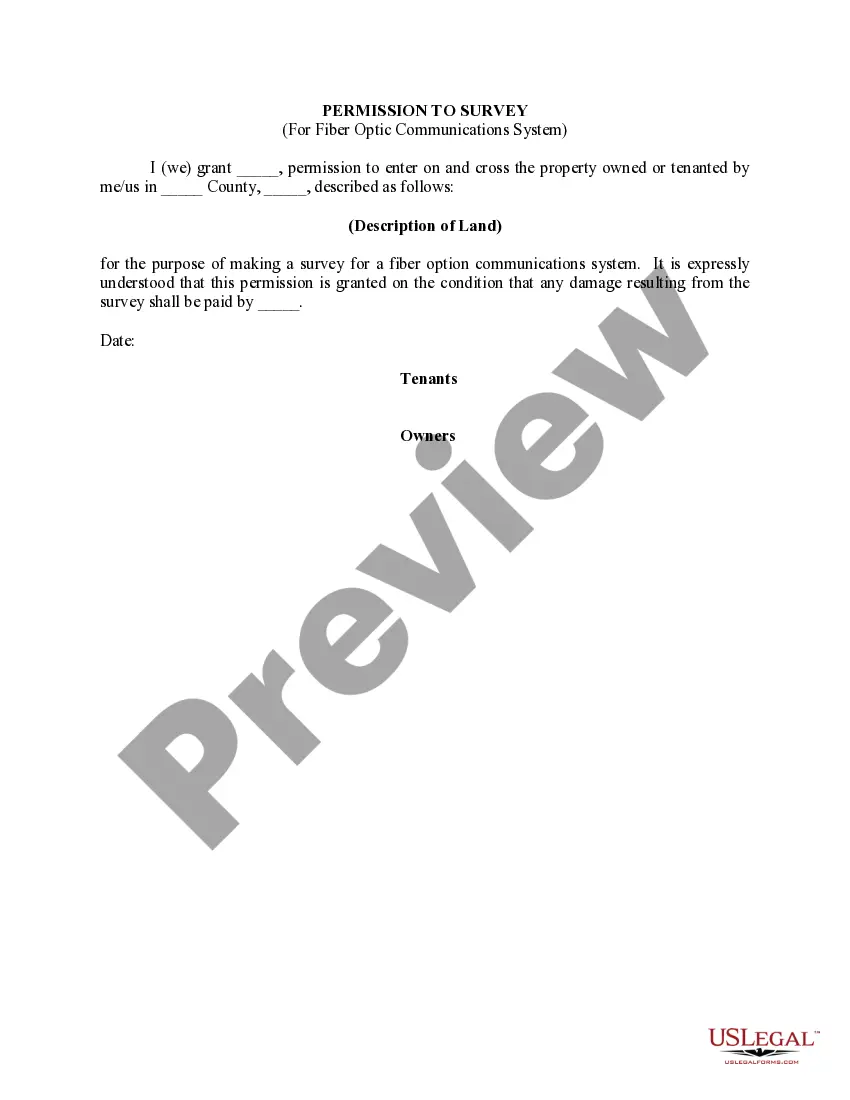
Pipeline surveys are an umbrella term for any land survey completed in service to the placing or maintenance of a pipeline. New pipelines can use land survey data to decide the most efficient route, while existing pipelines are often surveyed when checking for or confirming damage.
To put this in numbers, it could be as little as 50% of the easement land value, or up to 30% or more of the whole property value. The more intrusive the easement on the land (ex. - runs diagonal across the whole property vs. just down the fence line), the more impact it will have.
A crossing, also known as an encroachment, can be a temporary or permanent structure across, on, along or under a facility or pipeline right-of-way. A crossing can also mean equipment or machinery crossing over the pipeline right-of-way or facility site. Examples of crossings: Installing or replacing fencing.

")