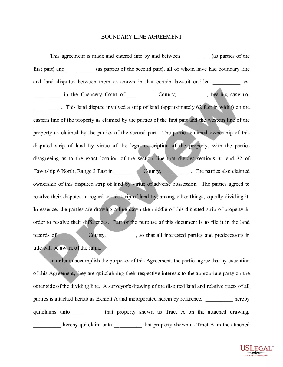
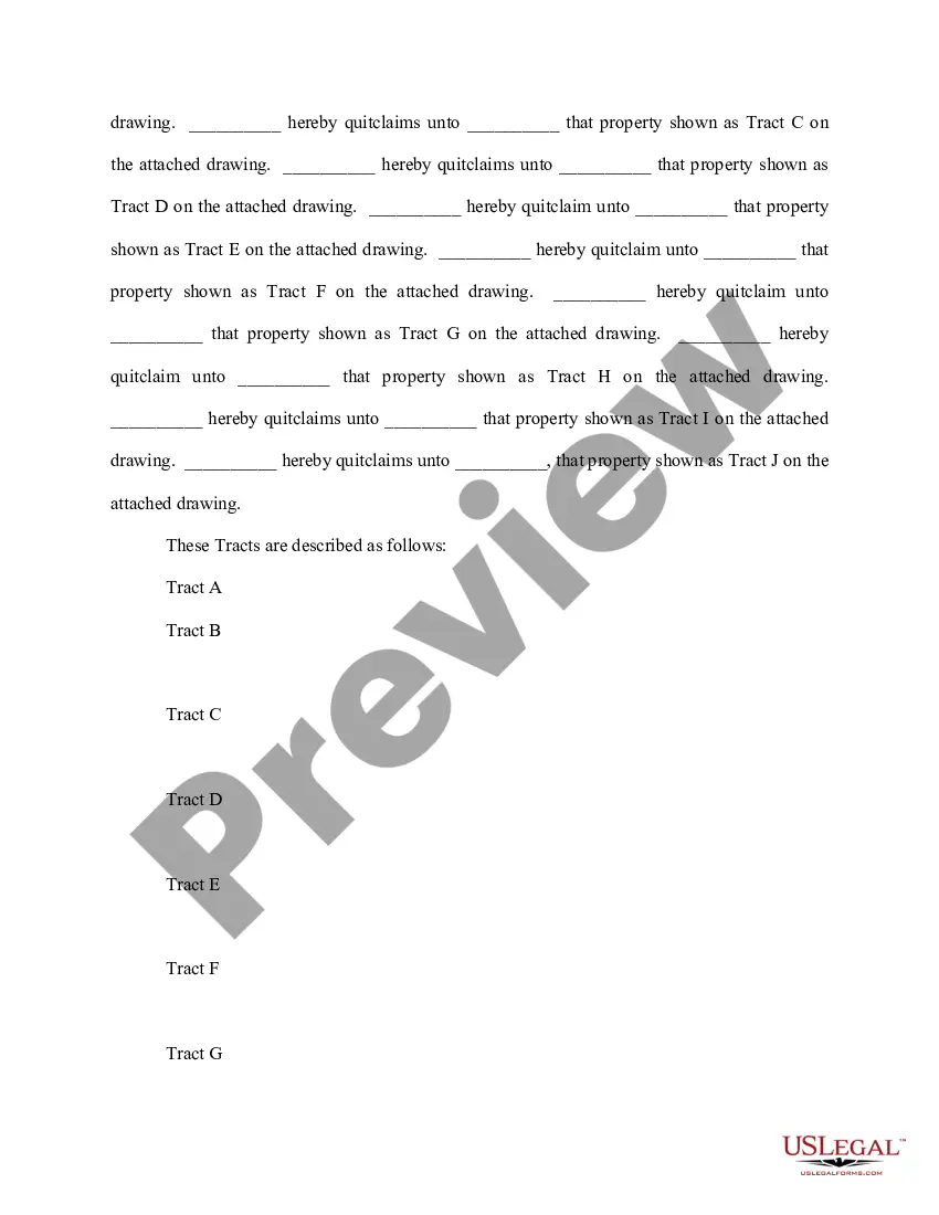
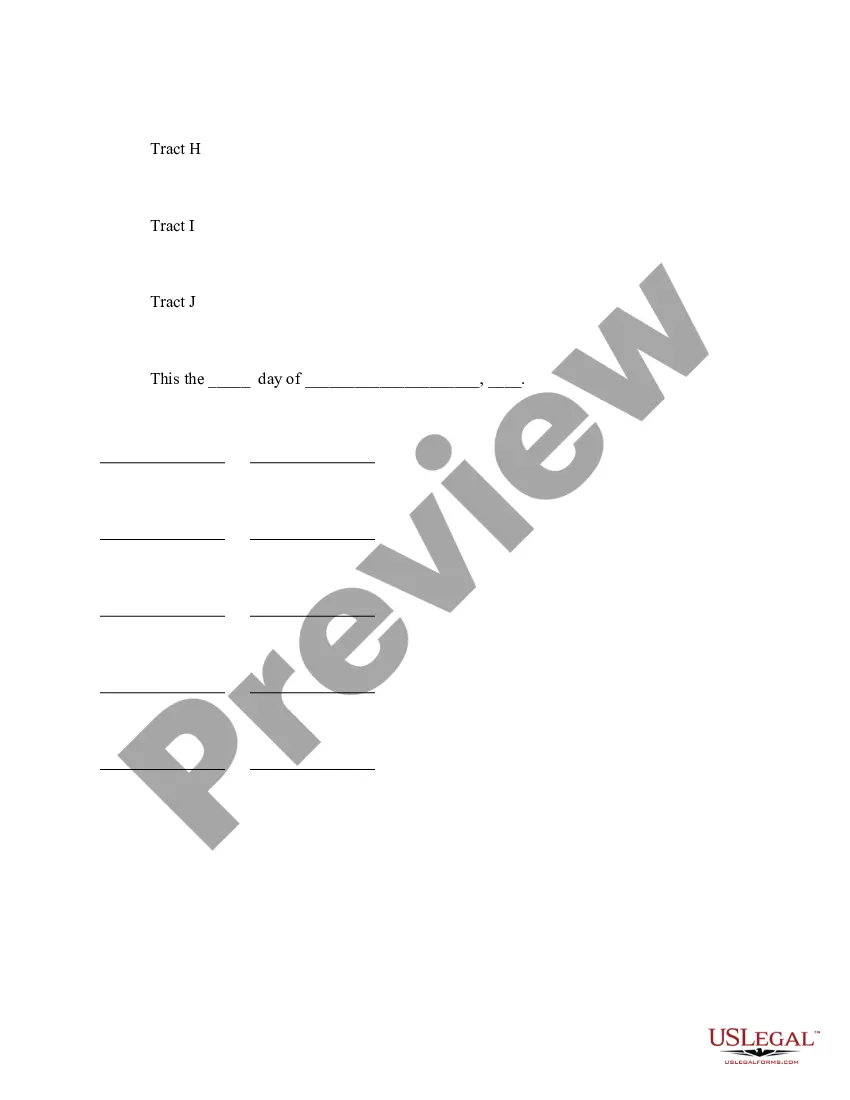
The Montana Boundary Line Agreement refers to a legal and geographical agreement that defines the boundaries of the state of Montana in the United States. This agreement aims to establish and clarify the exact demarcation lines between Montana and its neighboring states, ensuring the demarcation lines are accurately determined and recognized by all parties involved. The Montana Boundary Line Agreement is a crucial aspect of interstate relations and ensures that disputes and conflicts over territory are minimized or resolved. By upholding this agreement, the involved states can effectively administer their respective jurisdictions, allocate resources, and provide efficient governmental services to their residents. Although there are no specific variations or types of the Montana Boundary Line Agreement, there might be individual agreements or treaties signed between Montana and each of its neighboring states to further delineate specific regions or territories along the border. These supplementary agreements might serve to address specific geographic features or resolve historical disputes that may have arisen regarding the precise location of the boundary line. Keywords associated with the Montana Boundary Line Agreement include boundary lines, territory, state borders, interstate relations, geographical demarcation, jurisdiction, resources allocation, governmental services, dispute resolution, supplementary agreements, and historical disputes.
Montana Boundary Line Agreement
Description

How to fill out Montana Boundary Line Agreement?
Finding the right authorized document web template can be a struggle. Of course, there are tons of themes available on the Internet, but how do you obtain the authorized kind you require? Utilize the US Legal Forms website. The assistance offers 1000s of themes, such as the Montana Boundary Line Agreement, that you can use for company and personal needs. All of the forms are inspected by professionals and fulfill federal and state demands.
When you are already signed up, log in for your account and click on the Down load button to get the Montana Boundary Line Agreement. Make use of account to appear with the authorized forms you possess purchased earlier. Go to the My Forms tab of your account and obtain an additional version from the document you require.
When you are a brand new customer of US Legal Forms, here are straightforward directions so that you can follow:
- Very first, make certain you have chosen the appropriate kind for your personal city/county. You are able to check out the shape utilizing the Review button and study the shape information to guarantee this is the best for you.
- When the kind is not going to fulfill your expectations, make use of the Seach field to find the right kind.
- When you are certain the shape is suitable, click on the Acquire now button to get the kind.
- Opt for the costs plan you want and type in the necessary information and facts. Design your account and buy the transaction with your PayPal account or charge card.
- Choose the data file file format and down load the authorized document web template for your product.
- Total, change and printing and indication the acquired Montana Boundary Line Agreement.
US Legal Forms is definitely the biggest collection of authorized forms where you can find numerous document themes. Utilize the company to down load appropriately-created paperwork that follow status demands.