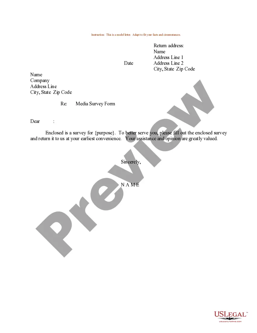
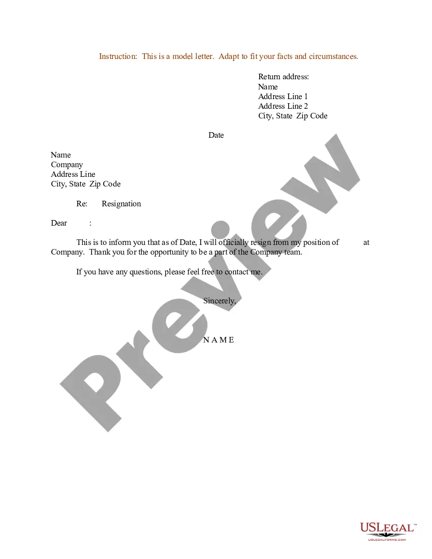
Montana Sample Letter for Request to Complete Media Survey Form
Description

How to fill out Montana Sample Letter For Request To Complete Media Survey Form?
If you need to complete, down load, or produce lawful papers themes, use US Legal Forms, the largest selection of lawful types, that can be found on the web. Use the site`s basic and handy lookup to obtain the files you need. Numerous themes for company and person reasons are sorted by groups and states, or keywords. Use US Legal Forms to obtain the Montana Sample Letter for Request to Complete Media Survey Form in just a handful of clicks.
When you are currently a US Legal Forms consumer, log in to your bank account and then click the Download switch to find the Montana Sample Letter for Request to Complete Media Survey Form. You can also gain access to types you previously acquired inside the My Forms tab of your respective bank account.
If you work with US Legal Forms for the first time, refer to the instructions below:
- Step 1. Make sure you have chosen the form for the appropriate metropolis/country.
- Step 2. Use the Preview method to look through the form`s content material. Don`t neglect to see the information.
- Step 3. When you are unhappy with the develop, use the Search area towards the top of the display screen to discover other types of your lawful develop web template.
- Step 4. After you have identified the form you need, click on the Acquire now switch. Choose the rates prepare you prefer and add your qualifications to register for the bank account.
- Step 5. Procedure the purchase. You can use your credit card or PayPal bank account to complete the purchase.
- Step 6. Choose the formatting of your lawful develop and down load it in your device.
- Step 7. Full, edit and produce or indicator the Montana Sample Letter for Request to Complete Media Survey Form.
Each and every lawful papers web template you acquire is your own property permanently. You have acces to every develop you acquired inside your acccount. Click on the My Forms portion and decide on a develop to produce or down load yet again.
Remain competitive and down load, and produce the Montana Sample Letter for Request to Complete Media Survey Form with US Legal Forms. There are thousands of skilled and express-distinct types you can utilize for the company or person requires.
Form popularity
FAQ
A LOMR is a letter from FEMA officially revising the current NFIP map to show changes to floodplains, regulatory floodways, or flood elevations. Reference Code of Federal Regulations Title 44 Parts 60, 65, and 72. A community or individual can request a LOMR to update the following: Flood Hazard Boundary Map.
The LOMA process is for properties on naturally high ground, and the LOMR-F process is for properties elevated by fill. LOMAs and LOMR-Fs can officially amend an effective FIRM. They can establish that a property is not in an SFHA.
A signed Community Acknowledgement Form indicates to FEMA that: All necessary permits were obtained. Applicant is in compliance with local and NFIP regulations. Fill does not result in a floodway encroachment.
A Letter of Map Amendment (LOMA) is an official amendment, by letter, to an effective National Flood Insurance Program (NFIP) map. A LOMA establishes a property's location in relation to the Special Flood Hazard Area (SFHA).
For all Letter of Map Revision, Conditional Letter of Map and Physical Map Revisions: For individual or community requests, these forms should be used for revisions to effective Flood Insurance Study reports, Flood Insurance Rate Maps or Flood Boundary and Floodway Maps.
What is a LOMA? A LOMA is a Letter of Map Amendment. It is a document from FEMA which states that while a structure, or portion of property, is mapped within the flood zone; it is not at risk for flooding based on the elevation of the structure, or portion of the property.
Use these strategies when asking someone to fill out your survey:Make your subject line interesting. To increase the chances of your email being read, create an interesting subject line.Greet the recipient.Explain your invite.Offer an incentive.Inform recipients of the survey's length.Thank the recipient.Send feedback.
A Letter of Map Revision Based on Fill (LOMR-F) is FEMA's modification of the Special Flood Hazard Area (SFHA) shown on the Flood Insurance Rate Map (FIRM) based on the placement of fill outside the existing regulatory floodway.
A Letter of Map Revision Based on Fill (LOMR-F) is FEMA's modification of the Special Flood Hazard Area (SFHA) shown on the Flood Insurance Rate Map (FIRM) based on the placement of fill outside the existing regulatory floodway.
More info
CUTTING YOUR PRODUCT IN OUR PRODUCT GALLERY See more PUTTING YOUR PRODUCT IN OUR PROJECT GALLERY.