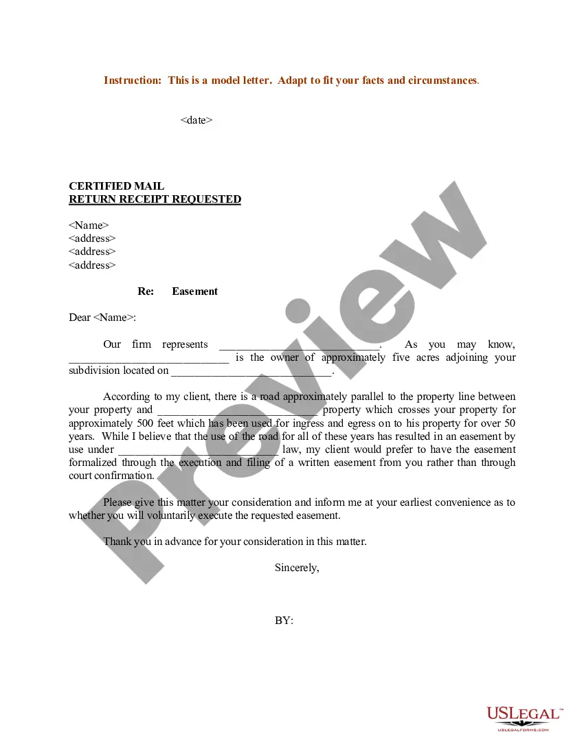
Montana Sample Letter regarding Survey Maps
Description


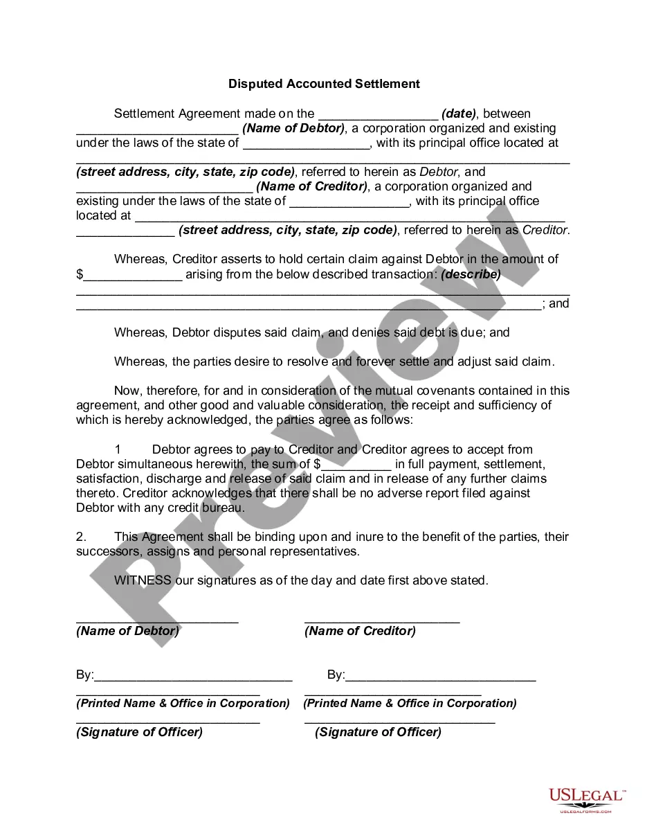
How to fill out Sample Letter Regarding Survey Maps?
US Legal Forms - one of several largest libraries of legal types in the USA - provides an array of legal papers themes you are able to obtain or print out. While using site, you can get thousands of types for company and person purposes, sorted by categories, says, or keywords and phrases.You can get the most recent models of types just like the Montana Sample Letter regarding Survey Maps within minutes.
If you already have a registration, log in and obtain Montana Sample Letter regarding Survey Maps from the US Legal Forms local library. The Obtain button will show up on every single kind you view. You get access to all formerly delivered electronically types from the My Forms tab of your profile.
In order to use US Legal Forms for the first time, allow me to share straightforward recommendations to obtain started off:
- Make sure you have picked out the best kind for your personal town/county. Click the Review button to check the form`s content material. See the kind explanation to ensure that you have chosen the right kind.
- In case the kind does not satisfy your demands, take advantage of the Look for discipline on top of the screen to get the one which does.
- In case you are content with the shape, confirm your option by visiting the Purchase now button. Then, pick the costs program you like and provide your qualifications to register on an profile.
- Procedure the deal. Use your bank card or PayPal profile to complete the deal.
- Select the file format and obtain the shape in your system.
- Make alterations. Load, change and print out and signal the delivered electronically Montana Sample Letter regarding Survey Maps.
Every design you put into your account lacks an expiry particular date and is also the one you have eternally. So, if you want to obtain or print out an additional version, just check out the My Forms section and click on about the kind you will need.
Obtain access to the Montana Sample Letter regarding Survey Maps with US Legal Forms, the most considerable local library of legal papers themes. Use thousands of skilled and condition-specific themes that meet up with your business or person needs and demands.
Form popularity
FAQ
A Conditional Letter of Map Revision (CLOMR) is FEMA's comment on a proposed project that would, upon construction; result in the modification of the existing regulatory floodway, the effective BFEs, or the SFHA.
A Letter of Map Amendment (LOMA) is an official amendment, by letter, to an effective National Flood Insurance Program (NFIP) map. A LOMA establishes a property's location in relation to the Special Flood Hazard Area (SFHA).
A Conditional Letter of Map Revision, or CLOMR, is FEMA's comment on a proposed project that would affect the hydrologic or hydraulic characteristics of a flooding source.
A LOMR (Letter Of Map Revision) is a detailed, technical application that is performed and submitted to the local Floodplain Administrator (FPA) and FEMA for review and approval.
A Letter of Map Revision is FEMA's modification to an effective Flood Insurance Rate Map (FIRM), or Flood Boundary and Floodway Map (FBFM), or both.
The National Flood Insurance Program (NFIP) defines a levee in Title 44, Chapter 1, Section 59.1 of the Code of Federal Regulations (44 CFR 59.1) as ?a man-made structure, usually an earthen embankment, designed and constructed in ance with sound engineering practices to contain, control, or divert the flow of ...
A LOMA establishes a property's location in relation to the Special Flood Hazard Area (SFHA). LOMAs are usually issued because a property has been inadvertently mapped as being in the floodplain, but is actually on natural high ground above the base flood elevation.