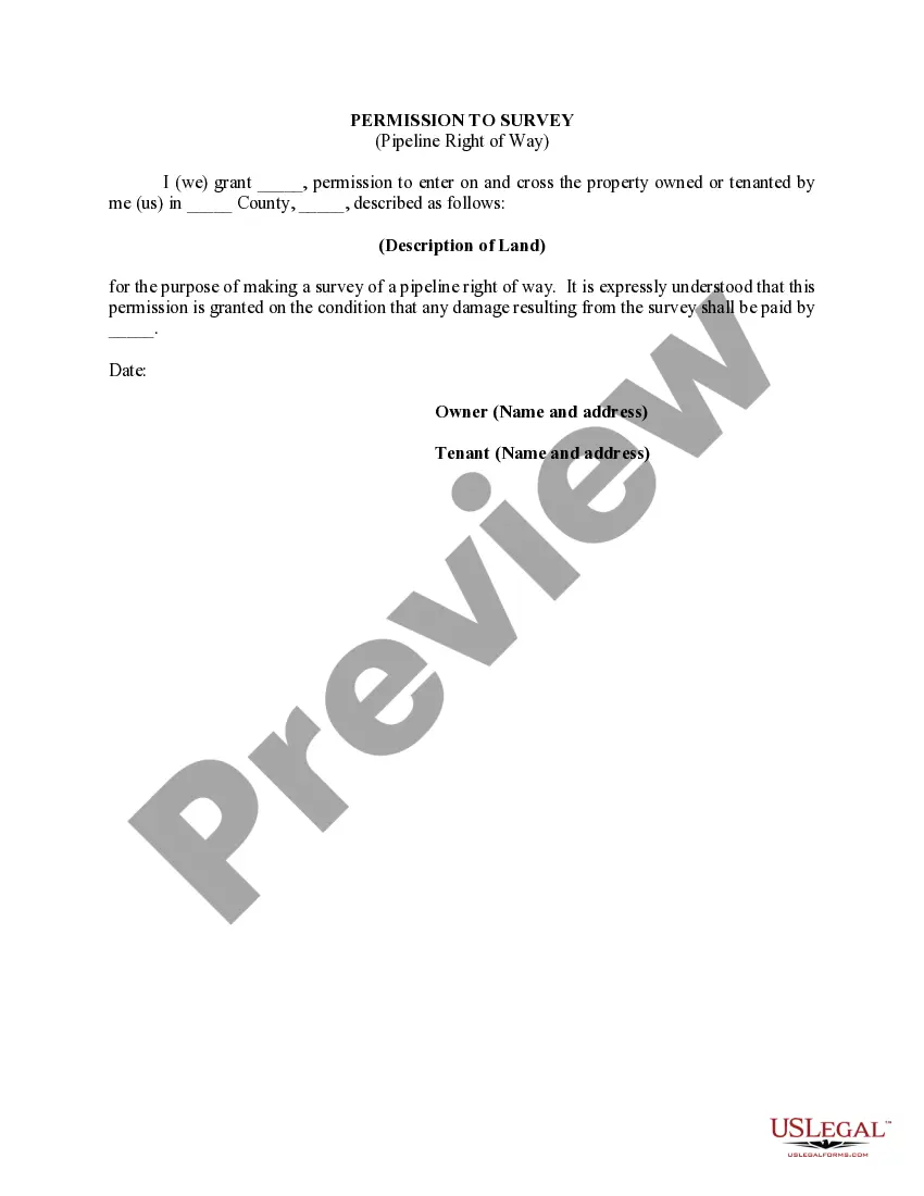
North Carolina Permission to Survey (Pipeline Right of Way) is a legal authorization required for conducting surveys and inspections along the proposed route of a pipeline in the state of North Carolina. This permission allows the project team to assess the feasibility of constructing the pipeline and evaluate potential environmental impacts. The North Carolina Department of Environmental Quality (NC DEQ) grants the Permission to Survey for Pipeline Right of Way after carefully reviewing the proposed project's plans, environmental assessments, and compliance with relevant federal and state regulations. The permission is a crucial step in the pre-construction phase of a pipeline project, ensuring that any land disturbances or potential impacts are carefully evaluated and mitigated. The survey process involves gathering crucial data necessary for pipeline design, construction, and maintenance. By conducting surveys, the project team can identify and address potential challenges, such as geological features, water bodies, sensitive habitats, cultural sites, and existing underground utilities. There are various types of North Carolina Permission to Survey (Pipeline Right of Way) based on the specific purpose and scope of the survey: 1. Preliminary Survey: This is the initial survey conducted to assess the general feasibility of the proposed route. It aims to gather information regarding potential land use conflicts, existing infrastructure, and other important factors that may affect the project's overall design. 2. Environmental Survey: This type of survey focuses on evaluating the potential environmental impacts of the proposed pipeline. It involves conducting studies related to air and water quality, wildlife habitats, wetlands, and endangered species presence. The data collected helps in developing appropriate mitigation strategies and ensuring compliance with environmental regulations. 3. Geotechnical Survey: Geotechnical surveys seek to evaluate the soil composition, stability, and other geologic factors along the pipeline right of way. This information is vital for selecting appropriate construction methods, designing foundations, and planning for potential ground movement or instability in the future. 4. Cultural Resources Survey: Cultural resources surveys are conducted to identify any archaeological, historical, or cultural sites that may lie along the pipeline route. These surveys aim to protect and preserve significant cultural resources by avoiding or minimizing impacts, or by implementing suitable mitigation measures. 5. Engineering Survey: Engineering surveys involve detailed measurements and assessments to gather data necessary for pipeline design and construction. These surveys include topographic mapping, land boundary surveys, and detailed assessments of natural features that could affect the pipeline's alignment and design. It is important for pipeline companies to obtain North Carolina Permission to Survey (Pipeline Right of Way) before commencing any on-site surveys, ensuring compliance with state regulations and potential stakeholders' concerns. This permit helps to carefully assess and plan for the pipeline route, prioritize environmental protection, and address potential conflicts, ultimately ensuring the safe and successful construction of the pipeline in North Carolina.
North Carolina Permission to Survey (Pipeline Right of Way)
Description
How to fill out North Carolina Permission To Survey (Pipeline Right Of Way)?
You may spend hours on the Internet looking for the authorized papers format that suits the federal and state demands you need. US Legal Forms gives a large number of authorized varieties that are evaluated by professionals. You can actually obtain or printing the North Carolina Permission to Survey (Pipeline Right of Way) from my assistance.
If you already possess a US Legal Forms bank account, you are able to log in and click the Down load option. Next, you are able to total, revise, printing, or indicator the North Carolina Permission to Survey (Pipeline Right of Way). Each and every authorized papers format you buy is your own property forever. To get an additional copy associated with a obtained form, proceed to the My Forms tab and click the related option.
Should you use the US Legal Forms web site the very first time, follow the simple directions listed below:
- Initial, make certain you have selected the right papers format for your region/area of your choice. See the form description to make sure you have picked out the proper form. If readily available, utilize the Preview option to search with the papers format as well.
- If you want to locate an additional version from the form, utilize the Look for discipline to discover the format that suits you and demands.
- Upon having located the format you would like, simply click Buy now to move forward.
- Find the rates strategy you would like, enter your references, and sign up for a merchant account on US Legal Forms.
- Comprehensive the transaction. You can use your credit card or PayPal bank account to purchase the authorized form.
- Find the structure from the papers and obtain it for your gadget.
- Make modifications for your papers if needed. You may total, revise and indicator and printing North Carolina Permission to Survey (Pipeline Right of Way).
Down load and printing a large number of papers layouts making use of the US Legal Forms Internet site, which offers the greatest variety of authorized varieties. Use expert and status-particular layouts to handle your company or personal requires.
Form popularity
FAQ
Property owners may not interfere with the purpose of an easement. For example, if a beneficiary electric company has wires strung across your yard, you can not take them down or block the workers' path. Violators may be held liable for damages to the easement holder.
(a) When two vehicles approach or enter an intersection from different highways at approximately the same time, the driver of the vehicle on the left shall yield the right-of-way to the vehicle on the right.
Right-of-way. (a) When two vehicles approach or enter an intersection from different highways at approximately the same time, the driver of the vehicle on the left shall yield the right-of-way to the vehicle on the right.
Generally, the owner of any easement has a duty to maintain the easement.
Right of way should be established from 5? to 15? beyond the construction limits. A typical right of way width for a 2-lane arterial or collector would be from 100? to 150?. For a 4-lane section of roadway, a width of 150? to 250? would be typical.
An easement gives people or organizations the right to access and use your property in specific situations for a limited purpose. A right of way is a type of easement that establishes the freedom to use a pathway or road on another's property without conferring ownership. A right of way easement is very common.
Right-of-way is a specific form of easement. An easement is usually given across land for a singular purpose such as for a utility line. An easement for ingress and egress (the right to travel) may be permanent but is often temporary such as in a construction access easement.