A North Dakota Survey Permit is an official authorization required by the state of North Dakota to conduct various types of land surveys within its jurisdiction. This permit ensures that surveys are conducted by licensed professionals and adhere to specific regulations and standards outlined by the state. A survey permit in North Dakota is typically obtained by licensed land surveyors or engineers who are authorized to perform different types of surveys. These permits are essential for conducting accurate measurements and establishing property boundaries. The permit ensures that surveys are done correctly, allowing for the proper recording and documentation of land ownership, easements, and other land-related information. There are several types of survey permits available in North Dakota, each catering to specific survey purposes. Some common types include: 1. Boundary Survey Permit: This permit is required when determining or re-establishing property boundaries. It involves precise measurements and markings to ascertain land ownership and is essential for resolving potential boundary disputes. 2. Topographic Survey Permit: This permit is necessary for mapping the surface characteristics of a specific site, including natural and man-made features. Topographic surveys are commonly used in various industries such as engineering, architecture, and construction for site planning and design. 3. Construction Survey Permit: Construction projects require accurate measurements and staking to ensure proper placement of structures, utilities, and infrastructure. This permit allows surveyors to conduct surveys during the construction process to ensure compliance with the approved plans and specifications. 4. Subdivision Survey Permit: When dividing a larger parcel of land into smaller lots, a subdivision survey permit is necessary. This type of survey involves precise measurements, boundary determination, and the establishment of new property lines for each subdivided lot. 5. Floodplain Survey Permit: This permit is essential for conducting surveys within designated floodplain areas to assess potential flood risks and develop appropriate mitigation strategies. It helps in determining flood-prone areas and aids in the planning and development of flood control measures. To obtain a North Dakota Survey Permit, individuals or firms need to submit an application to the appropriate regulating authority, such as the North Dakota State Board of Registration for Professional Engineers and Land Surveyors. The application usually includes details about the survey project, surveyor qualifications, and payment of necessary fees. Once approved, the permit allows the licensed surveyors to conduct surveys within the specified parameters and scope of work. In conclusion, a North Dakota Survey Permit is a crucial authorization required for conducting land surveys within the state. Different types of permits exist to cater to various survey purposes, including boundary, topographic, construction, subdivision, and floodplain surveys. These permits ensure survey accuracy, compliance with regulations, and the proper establishment of land boundaries and features.
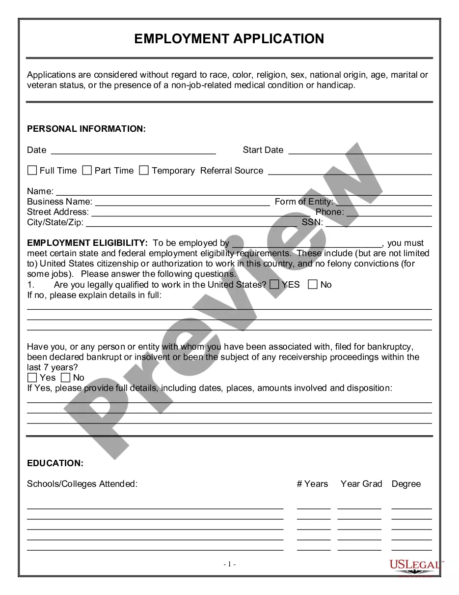
North Dakota Survey Permit
Description
How to fill out North Dakota Survey Permit?
Discovering the right authorized document template might be a have difficulties. Of course, there are tons of templates available on the net, but how can you discover the authorized kind you require? Make use of the US Legal Forms internet site. The assistance delivers thousands of templates, like the North Dakota Survey Permit, that you can use for business and personal needs. Each of the forms are checked out by pros and meet federal and state specifications.
If you are previously signed up, log in for your account and then click the Acquire key to find the North Dakota Survey Permit. Make use of your account to look through the authorized forms you might have bought formerly. Go to the My Forms tab of your respective account and have yet another duplicate from the document you require.
If you are a fresh consumer of US Legal Forms, listed here are easy instructions so that you can stick to:
- First, make sure you have chosen the appropriate kind for your town/region. You may examine the shape while using Review key and read the shape description to ensure it is the best for you.
- If the kind will not meet your expectations, make use of the Seach field to obtain the appropriate kind.
- Once you are certain the shape would work, click the Purchase now key to find the kind.
- Pick the prices program you want and enter the essential info. Make your account and buy your order making use of your PayPal account or credit card.
- Choose the submit structure and down load the authorized document template for your product.
- Complete, edit and printing and indicator the obtained North Dakota Survey Permit.
US Legal Forms is definitely the biggest library of authorized forms for which you can find a variety of document templates. Make use of the company to down load appropriately-made paperwork that stick to status specifications.
