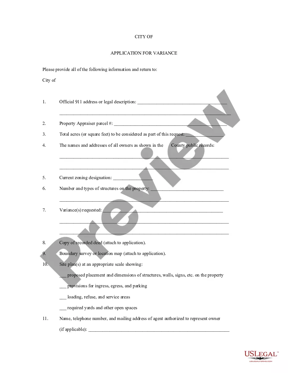
Nebraska Application for Rezoning and / or Future Land Use Map Amendment
Description


How to fill out Application For Rezoning And / Or Future Land Use Map Amendment?
US Legal Forms - one of several biggest libraries of lawful kinds in the United States - gives a wide range of lawful document web templates you can download or produce. Utilizing the site, you may get a huge number of kinds for business and specific uses, categorized by classes, says, or search phrases.You will find the most up-to-date variations of kinds such as the Nebraska Application for Rezoning and / or Future Land Use Map Amendment in seconds.
If you currently have a membership, log in and download Nebraska Application for Rezoning and / or Future Land Use Map Amendment from your US Legal Forms library. The Obtain button can look on every develop you view. You have access to all formerly saved kinds within the My Forms tab of your account.
In order to use US Legal Forms for the first time, listed here are easy recommendations to obtain started:
- Be sure to have selected the best develop for the metropolis/state. Go through the Preview button to check the form`s information. Read the develop explanation to actually have chosen the appropriate develop.
- In the event the develop doesn`t suit your needs, make use of the Lookup industry towards the top of the display to obtain the the one that does.
- When you are pleased with the form, verify your choice by simply clicking the Get now button. Then, choose the costs plan you favor and supply your references to register on an account.
- Procedure the transaction. Make use of your Visa or Mastercard or PayPal account to perform the transaction.
- Pick the file format and download the form in your product.
- Make changes. Complete, change and produce and indicator the saved Nebraska Application for Rezoning and / or Future Land Use Map Amendment.
Each format you included with your account does not have an expiry date and it is your own eternally. So, in order to download or produce an additional backup, just proceed to the My Forms segment and click about the develop you will need.
Obtain access to the Nebraska Application for Rezoning and / or Future Land Use Map Amendment with US Legal Forms, probably the most considerable library of lawful document web templates. Use a huge number of skilled and express-distinct web templates that meet up with your company or specific requires and needs.
Form popularity
FAQ
There are five zoning districts which require approval of a use permit prior to development. They are the R-T, O-3, B-2, B-5 and I-3 zoning districts. A use permit is essentially a zoning overlay which provides the City site plan review authority for office and commercial developments.
A zoning ordinance is a rule that defines how property in specific geographic zones can be used. Zoning ordinances detail whether specific geographic zones are acceptable for residential or commercial purposes.
(e) The maximum height of the buildings and structures shall be fifty-seven feet or National Geodetic Survey elevation 1247.0 feet, whichever is lower, within an area bounded on the west by Fifth Street, on the north by K Street, on the east by Thirteenth Street, and on the south by H Street, all streets in the city of ...
Zoning codes are a set of rules that regulate what can and can't be done on a particular piece of property. They're established and enforced at the city level. In California, you can find zoning codes for virtually every city in the city's municipal code.
Plans are not required if your shed is less than 120 square feet. Plans are required for most other types of projects. During the application process you will need to upload plans showing the location, size, and details of the proposed project.