Nebraska Survey Permit is a legal document issued by the Nebraska Department of Natural Resources, granting individuals or organizations the authority to conduct surveys and mapping activities within the state of Nebraska. It allows surveyors to perform various types of surveys, ensuring accurate measurement and documentation of land boundaries, topography, and other geographical features. The Nebraska Survey Permit is necessary to comply with state regulations and ensure that surveys are performed by licensed professionals who have the appropriate qualifications and expertise. By obtaining this permit, surveyors demonstrate their commitment to maintaining the integrity of land records and promoting responsible land development practices. There are different types of Nebraska Survey Permits available, depending on the specific nature and purpose of the survey: 1. Boundary Survey Permit: This permit is required when a surveyor needs to establish or reestablish property boundaries. It involves locating and identifying property corners, markers, and boundary lines, providing accurate information about land ownership and boundary disputes. 2. Topographic Survey Permit: This permit allows surveyors to collect data on the shape, elevation, and physical characteristics of the land's surface, including natural and man-made features such as trees, buildings, roads, and water bodies. Topographic surveys aid in land development, engineering projects, and environmental planning. 3. Construction Survey Permit: A construction survey permit is necessary for surveyors involved in the layout and measurement of structures, infrastructure, and improvements. This type of survey ensures that buildings and other constructed facilities are positioned correctly, according to the approved plans and within legal boundaries. 4. Land Subdivision Permit: This permit is required for surveyors involved in the subdivision of larger parcels of land into smaller lots or tracts. Surveyors must adhere to specific regulations and guidelines to ensure that the subdivision process is carried out accurately, avoiding potential property disputes or legal issues in the future. 5. GIS Mapping Survey Permit: For surveyors working with Geographic Information System (GIS) technology, this permit is essential. GIS mapping surveys involve the collection, analysis, and visualization of spatial data, helping in land management, planning, and decision-making processes. It is important for surveyors and land professionals in Nebraska to understand the requirements and purposes of each type of survey permit. By obtaining the appropriate Nebraska Survey Permit, surveyors can ensure their work is conducted legally, accurately, and in compliance with state regulations, thereby safeguarding the interests of landowners and promoting responsible land use.
Nebraska Survey Permit
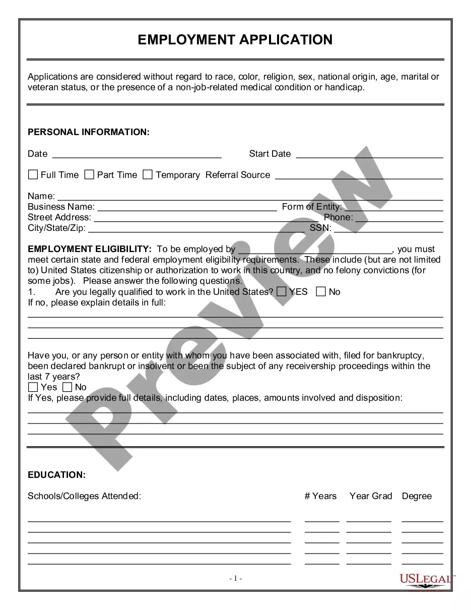
Description
How to fill out Nebraska Survey Permit?
US Legal Forms - one of many greatest libraries of legitimate forms in the States - provides a variety of legitimate record templates you can obtain or produce. Making use of the internet site, you can get 1000s of forms for organization and specific functions, categorized by groups, suggests, or key phrases.You can find the latest versions of forms like the Nebraska Survey Permit in seconds.
If you have a membership, log in and obtain Nebraska Survey Permit through the US Legal Forms local library. The Acquire button will show up on each and every type you view. You have access to all previously acquired forms inside the My Forms tab of the account.
If you would like use US Legal Forms for the first time, listed below are simple guidelines to obtain began:
- Be sure you have selected the best type for your personal town/region. Click the Preview button to examine the form`s information. See the type explanation to actually have selected the right type.
- If the type doesn`t suit your specifications, use the Look for area on top of the display screen to get the one who does.
- When you are content with the form, confirm your option by clicking on the Get now button. Then, select the prices plan you want and provide your references to register for the account.
- Process the financial transaction. Make use of your bank card or PayPal account to complete the financial transaction.
- Choose the structure and obtain the form on the product.
- Make adjustments. Fill up, change and produce and indicator the acquired Nebraska Survey Permit.
Each and every web template you added to your account lacks an expiration particular date which is the one you have permanently. So, if you want to obtain or produce yet another copy, just visit the My Forms area and then click around the type you want.
Obtain access to the Nebraska Survey Permit with US Legal Forms, one of the most extensive local library of legitimate record templates. Use 1000s of expert and status-distinct templates that meet up with your organization or specific requirements and specifications.
