This lease rider form may be used when you are involved in a lease transaction, and have made the decision to utilize the form of Oil and Gas Lease presented to you by the Lessee, and you want to include additional provisions to that Lease form to address specific concerns you may have, or place limitations on the rights granted the Lessee in the “standard” lease form.
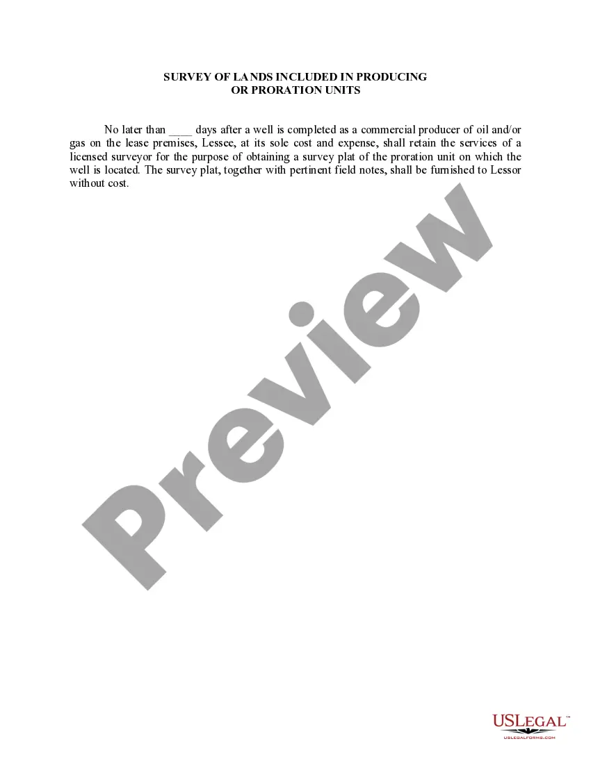
New Jersey Survey of Lands included in Producing or Proration Units is an essential process used in the oil and gas industry to determine the boundaries and ownership of land parcels within a designated production or proration unit. This survey helps in estimating and allocating the production or proration of oil and gas resources accurately among various stakeholders involved. The New Jersey Survey of Lands is conducted by experienced surveyors who use advanced technologies and methodologies to gather precise measurements and data about the land. They analyze legal descriptions, deeds, plats, and other relevant documents to establish the boundaries and dimensions of the survey area. The surveyors may also consider historical or cultural features, as well as environmental considerations, while conducting the survey. Various types of New Jersey Survey of Lands are included in Producing or Proration Units, which help determine specific aspects of the land and resources involved: 1. Boundary Surveys: These surveys determine the exact boundaries of the production or proration unit. They ensure that all the land parcels within the area are correctly identified and included in the unit. The surveyors may establish new boundary lines or verify existing ones using the latest technology and surveying techniques. 2. Topographic Surveys: Topographic surveys assess the physical characteristics of the land within the production or proration unit. They provide detailed information about the elevation, contours, natural features, water bodies, and man-made structures present on the land. These surveys are crucial for understanding the terrain and planning the development of oil and gas resources. 3. Land Ownership Surveys: These surveys establish the ownership boundaries of individual land parcels within the production or proration unit. Surveyors analyze legal documents, deeds, and property records to accurately determine the ownership status of each specific area. This information is crucial for allocating royalties and determining the rights and responsibilities of each stakeholder involved. 4. Right-of-Way Surveys: Right-of-way surveys establish the legal rights and boundaries required for the construction and maintenance of pipelines, access roads, and other infrastructure within the production or proration unit. These surveys help ensure that the necessary areas are acquired or leased in compliance with applicable laws and regulations. 5. Environmental Surveys: Environmental surveys assess the ecological aspects of the land within the production or proration unit. They identify environmentally sensitive areas, wildlife habitat, potential conservation areas, or any other factors that may impact the development and production activities. The information obtained from these surveys aids in planning sustainable operations and complying with environmental regulations. Overall, the New Jersey Survey of Lands included in Producing or Proration Units is a comprehensive process that involves the identification, measurement, and documentation of land parcels to facilitate the efficient and equitable management of oil and gas resources. The different types of surveys mentioned above contribute to creating a precise and comprehensive understanding of the land and its characteristics within the unit.New Jersey Survey of Lands included in Producing or Proration Units is an essential process used in the oil and gas industry to determine the boundaries and ownership of land parcels within a designated production or proration unit. This survey helps in estimating and allocating the production or proration of oil and gas resources accurately among various stakeholders involved. The New Jersey Survey of Lands is conducted by experienced surveyors who use advanced technologies and methodologies to gather precise measurements and data about the land. They analyze legal descriptions, deeds, plats, and other relevant documents to establish the boundaries and dimensions of the survey area. The surveyors may also consider historical or cultural features, as well as environmental considerations, while conducting the survey. Various types of New Jersey Survey of Lands are included in Producing or Proration Units, which help determine specific aspects of the land and resources involved: 1. Boundary Surveys: These surveys determine the exact boundaries of the production or proration unit. They ensure that all the land parcels within the area are correctly identified and included in the unit. The surveyors may establish new boundary lines or verify existing ones using the latest technology and surveying techniques. 2. Topographic Surveys: Topographic surveys assess the physical characteristics of the land within the production or proration unit. They provide detailed information about the elevation, contours, natural features, water bodies, and man-made structures present on the land. These surveys are crucial for understanding the terrain and planning the development of oil and gas resources. 3. Land Ownership Surveys: These surveys establish the ownership boundaries of individual land parcels within the production or proration unit. Surveyors analyze legal documents, deeds, and property records to accurately determine the ownership status of each specific area. This information is crucial for allocating royalties and determining the rights and responsibilities of each stakeholder involved. 4. Right-of-Way Surveys: Right-of-way surveys establish the legal rights and boundaries required for the construction and maintenance of pipelines, access roads, and other infrastructure within the production or proration unit. These surveys help ensure that the necessary areas are acquired or leased in compliance with applicable laws and regulations. 5. Environmental Surveys: Environmental surveys assess the ecological aspects of the land within the production or proration unit. They identify environmentally sensitive areas, wildlife habitat, potential conservation areas, or any other factors that may impact the development and production activities. The information obtained from these surveys aids in planning sustainable operations and complying with environmental regulations. Overall, the New Jersey Survey of Lands included in Producing or Proration Units is a comprehensive process that involves the identification, measurement, and documentation of land parcels to facilitate the efficient and equitable management of oil and gas resources. The different types of surveys mentioned above contribute to creating a precise and comprehensive understanding of the land and its characteristics within the unit.