Puerto Rico Correction to Unit Designation to Correct Depth
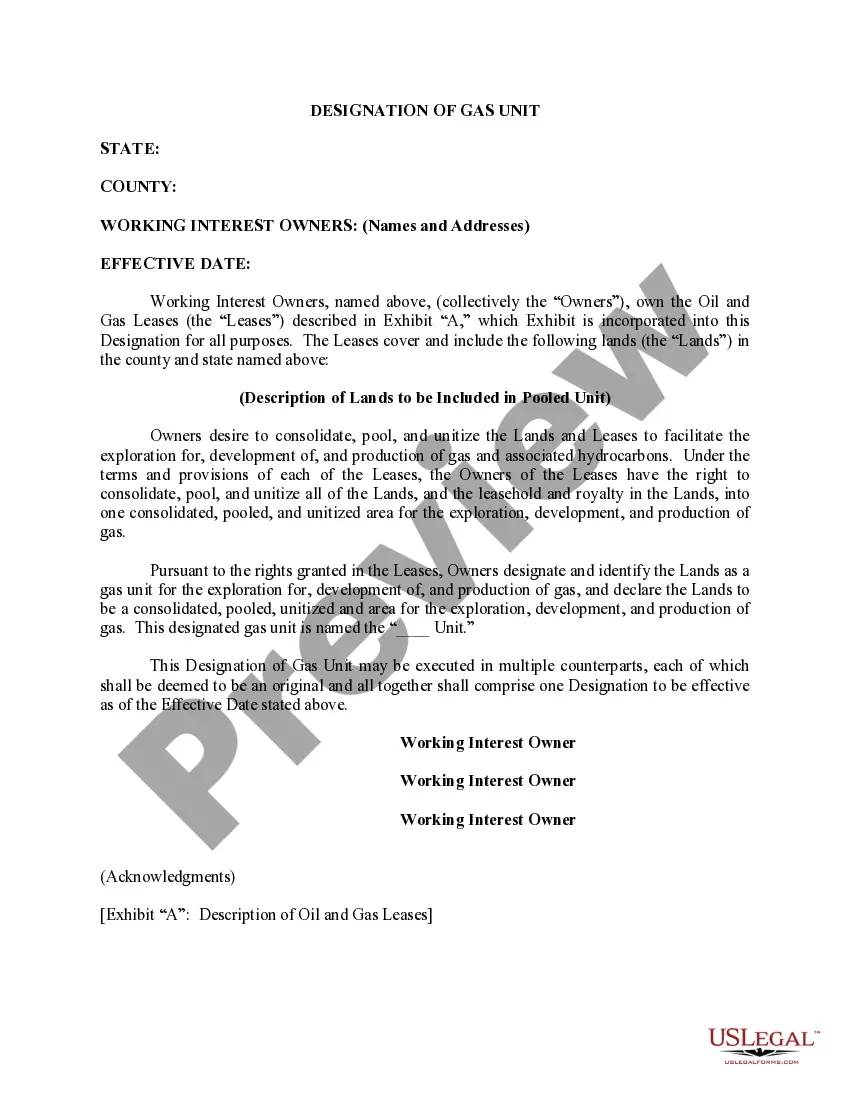
Description

How to fill out Correction To Unit Designation To Correct Depth?
If you have to full, acquire, or print authorized record web templates, use US Legal Forms, the most important collection of authorized types, that can be found online. Make use of the site`s simple and easy hassle-free lookup to get the papers you need. Numerous web templates for business and person purposes are categorized by categories and suggests, or key phrases. Use US Legal Forms to get the Puerto Rico Correction to Unit Designation to Correct Depth within a number of mouse clicks.
In case you are presently a US Legal Forms consumer, log in in your account and click on the Download key to find the Puerto Rico Correction to Unit Designation to Correct Depth. You can even gain access to types you previously acquired from the My Forms tab of your account.
Should you use US Legal Forms the very first time, follow the instructions listed below:
- Step 1. Make sure you have chosen the shape for the appropriate city/nation.
- Step 2. Take advantage of the Preview solution to check out the form`s content. Never neglect to read through the outline.
- Step 3. In case you are not happy using the form, utilize the Research discipline near the top of the display screen to find other types in the authorized form template.
- Step 4. Upon having discovered the shape you need, select the Get now key. Pick the costs strategy you favor and add your accreditations to register on an account.
- Step 5. Procedure the financial transaction. You can utilize your Мisa or Ьastercard or PayPal account to perform the financial transaction.
- Step 6. Select the file format in the authorized form and acquire it on your own product.
- Step 7. Comprehensive, change and print or sign the Puerto Rico Correction to Unit Designation to Correct Depth.
Each and every authorized record template you get is your own property for a long time. You may have acces to each form you acquired in your acccount. Click the My Forms segment and choose a form to print or acquire again.
Be competitive and acquire, and print the Puerto Rico Correction to Unit Designation to Correct Depth with US Legal Forms. There are thousands of skilled and state-distinct types you can use for your business or person requirements.