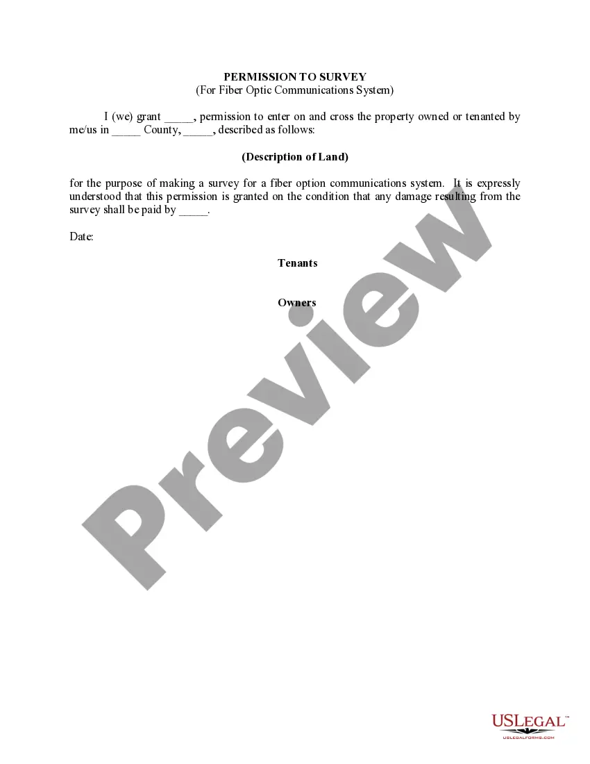
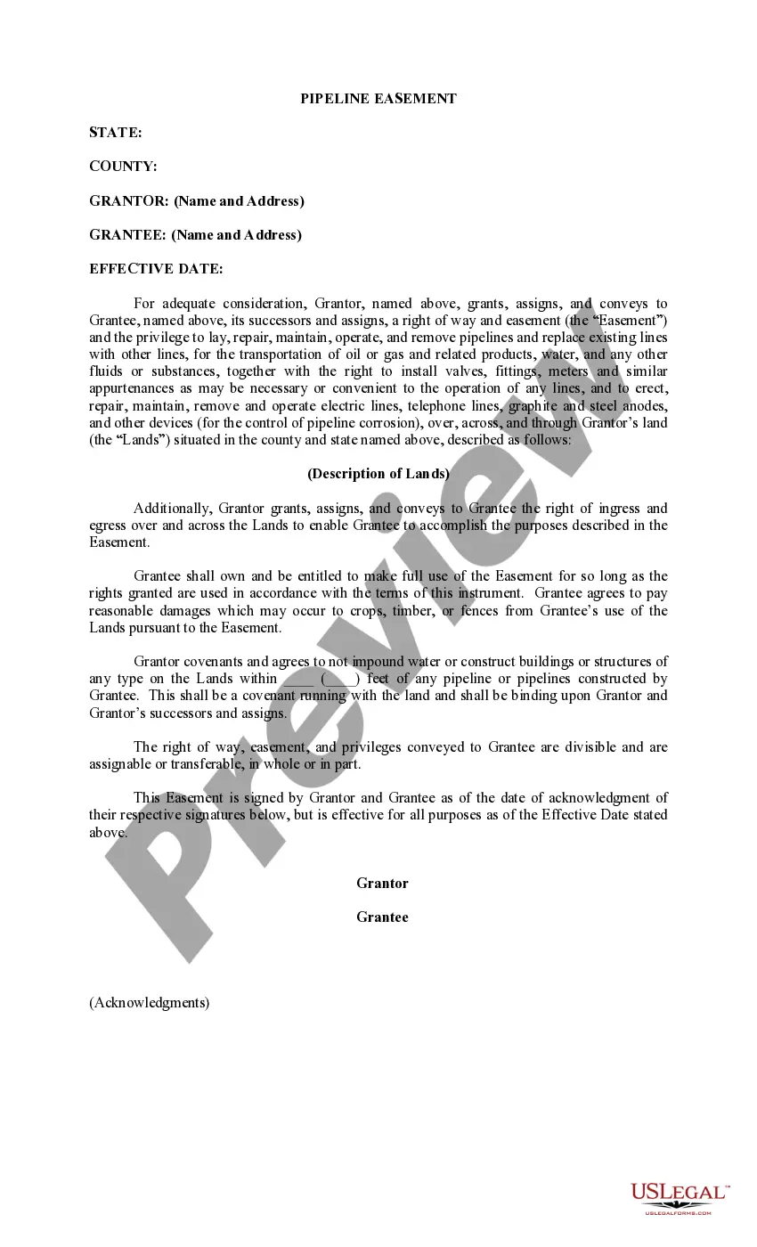
Utah Permission to Survey (Pipeline Right of Way)
Description


How to fill out Permission To Survey (Pipeline Right Of Way)?
It is possible to spend hours on-line attempting to find the legitimate papers design that suits the state and federal requirements you need. US Legal Forms provides 1000s of legitimate kinds which can be analyzed by specialists. You can easily obtain or print the Utah Permission to Survey (Pipeline Right of Way) from the assistance.
If you already have a US Legal Forms accounts, it is possible to log in and click on the Download switch. After that, it is possible to comprehensive, revise, print, or indication the Utah Permission to Survey (Pipeline Right of Way). Every single legitimate papers design you purchase is your own property for a long time. To get an additional copy for any obtained develop, visit the My Forms tab and click on the corresponding switch.
If you use the US Legal Forms website the first time, adhere to the basic recommendations under:
- Very first, make sure that you have selected the best papers design for that area/city of your choosing. Look at the develop explanation to make sure you have chosen the correct develop. If accessible, take advantage of the Review switch to look through the papers design also.
- If you would like locate an additional edition in the develop, take advantage of the Search industry to obtain the design that meets your requirements and requirements.
- Once you have found the design you want, click on Get now to move forward.
- Find the costs prepare you want, type in your references, and sign up for your account on US Legal Forms.
- Total the financial transaction. You should use your bank card or PayPal accounts to purchase the legitimate develop.
- Find the formatting in the papers and obtain it for your system.
- Make changes for your papers if necessary. It is possible to comprehensive, revise and indication and print Utah Permission to Survey (Pipeline Right of Way).
Download and print 1000s of papers layouts while using US Legal Forms Internet site, that offers the largest assortment of legitimate kinds. Use expert and status-certain layouts to tackle your company or person requires.
Form popularity
FAQ
Baseline surveys are just one common type of land survey. These surveys are performed before any construction begins on a pipeline to gain a better understanding of environmental factors and identify any possible future issues. Conducting a baseline survey is a nuanced process.
In order to formally establish the easement as a property right, the owner would need to either enter an agreement with the owner of the property being used for the easement, or file an action in court to prove that the easement right has been established.
During a large oil and gas development project, surveying the pipeline right-of-way can be among the most difficult aspects of the entire project.
The markers are typically located in a ?line of sight? manner within the rights- of-way, along streets and at road and railroad crossings. The markers provide helpful information about what each pipeline transports, who operates the pipeline, and how to contact the pipeline company.
During the pipeline right-of-way surveying process, it's important that you gather detailed information about the proposed route quickly. This can be accomplished using a modern land surveying technology such as unmanned aerial vehicles (UAVs).
Your duties include taking measurements, defining boundaries using GPS or GIS equipment or traditional surveying tools, and assessing whether construction is feasible at a given site, which includes determining if there are potential access roads or nearby water sources.
Depth of Cover Survey An all encompassing verification of pipeline depth throughout the crossing including the channel thalweg, bed, banks, reasonable setback on either side, and the general area.
Above-ground pipeline markers are used along the permanent right-of-way for easy recognition of the presence of underground pipelines. The markers are typically located in a ?line of sight? manner within the rights-of-way, along streets and at road and railroad crossings.
")