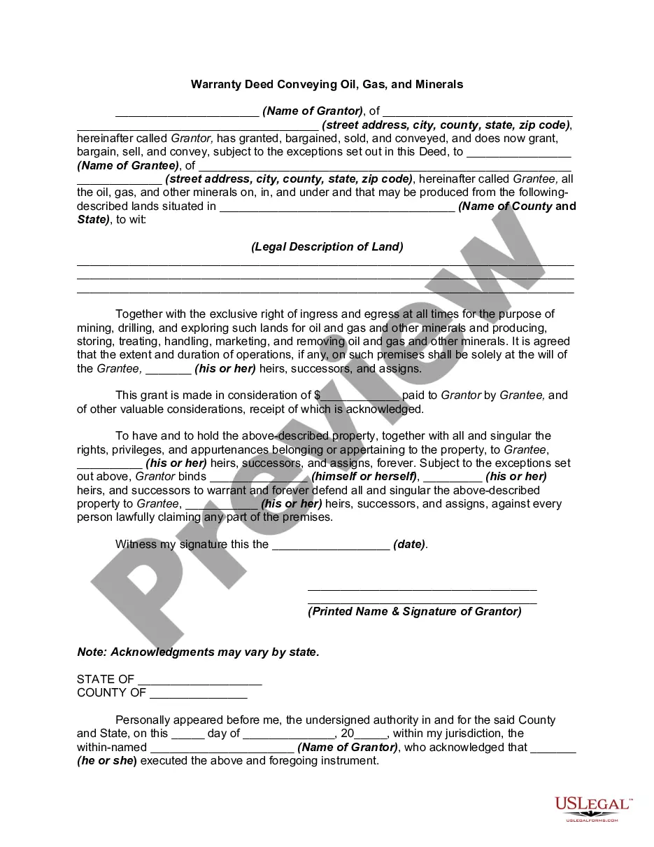
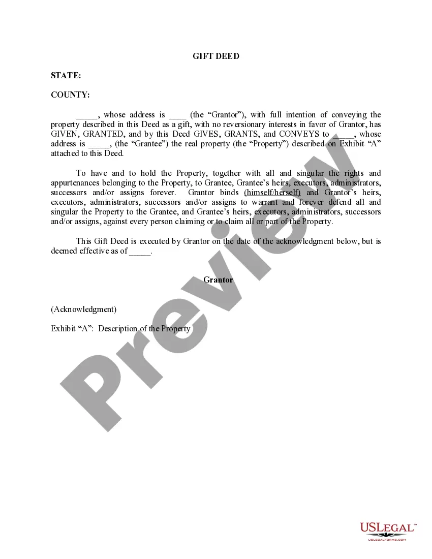
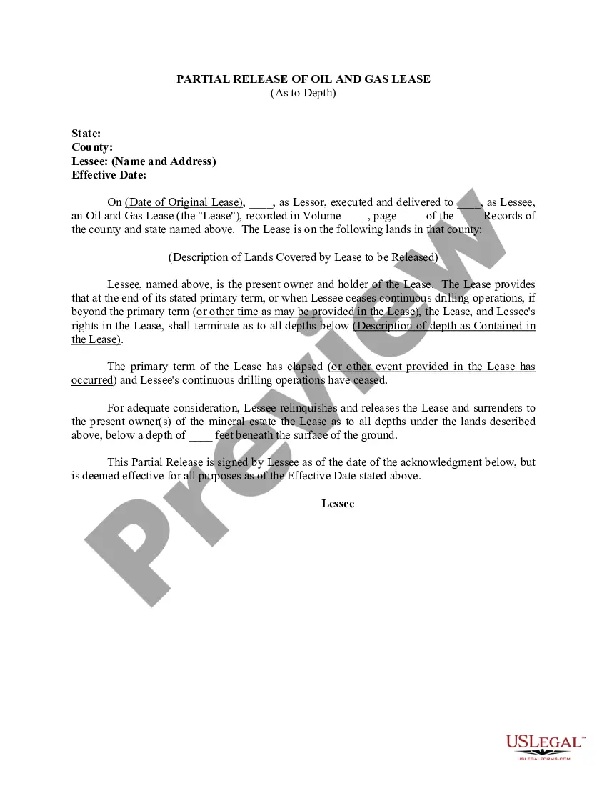
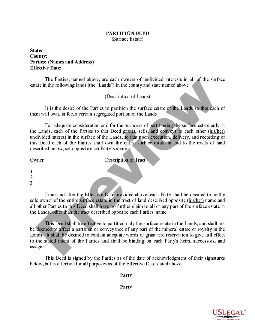
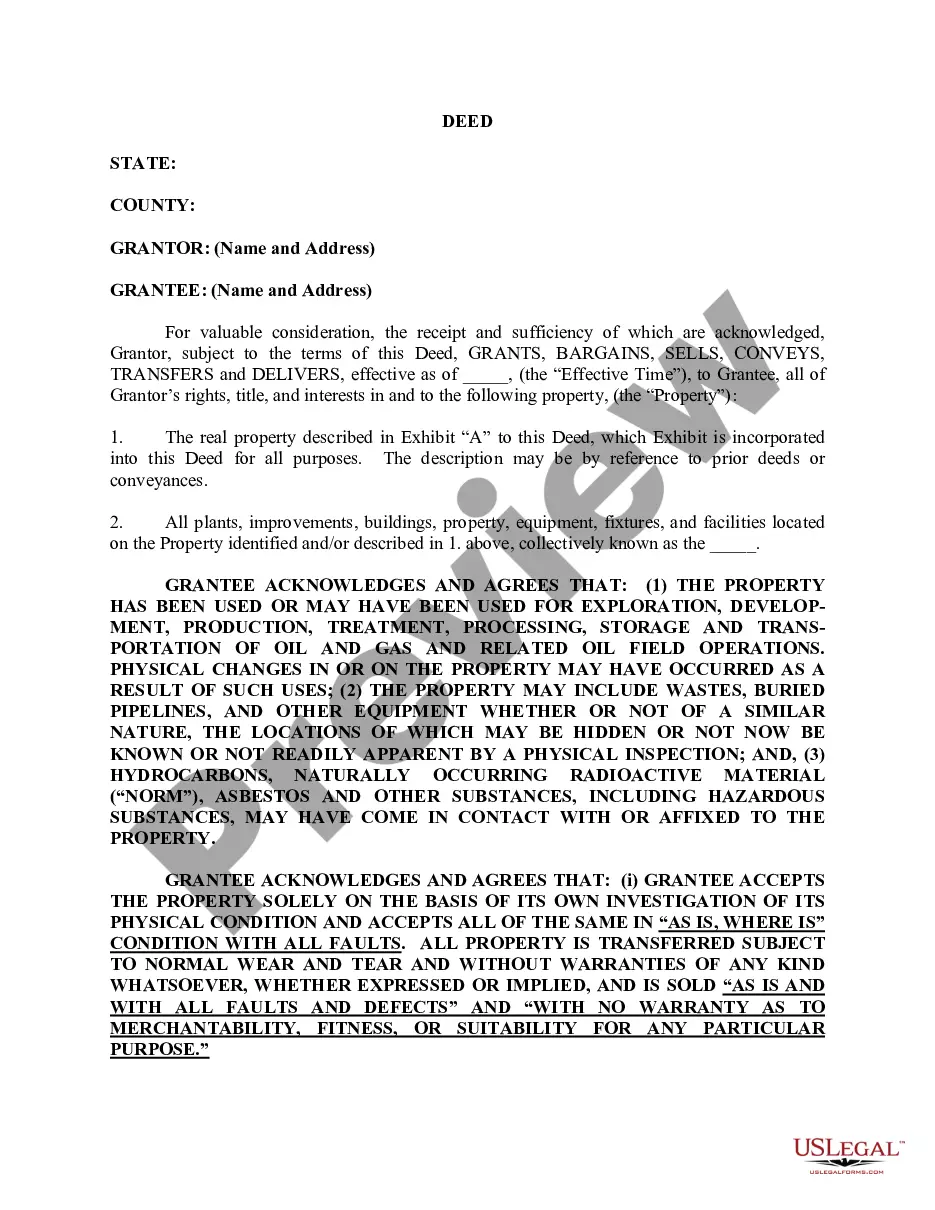
Virgin Islands Deed (As to Specified Subsurface Depths)
Description
How to fill out Deed (As To Specified Subsurface Depths)?
Are you in a situation that you need to have paperwork for possibly company or personal uses just about every working day? There are plenty of legal document templates accessible on the Internet, but finding ones you can depend on is not easy. US Legal Forms delivers thousands of type templates, much like the Virgin Islands Deed (As to Specified Subsurface Depths), that happen to be composed to meet state and federal specifications.
When you are already acquainted with US Legal Forms website and possess an account, merely log in. Next, it is possible to obtain the Virgin Islands Deed (As to Specified Subsurface Depths) design.
If you do not have an account and need to begin using US Legal Forms, adopt these measures:
- Get the type you require and ensure it is for your correct metropolis/area.
- Use the Preview button to analyze the form.
- Read the explanation to ensure that you have chosen the right type.
- When the type is not what you`re seeking, use the Search discipline to obtain the type that meets your needs and specifications.
- Whenever you find the correct type, click on Get now.
- Select the costs plan you need, submit the required details to generate your bank account, and pay money for the order using your PayPal or Visa or Mastercard.
- Pick a practical data file file format and obtain your version.
Discover all the document templates you have purchased in the My Forms food list. You may get a more version of Virgin Islands Deed (As to Specified Subsurface Depths) at any time, if possible. Just click the necessary type to obtain or print the document design.
Use US Legal Forms, by far the most comprehensive collection of legal forms, to save lots of efforts and stay away from mistakes. The service delivers expertly manufactured legal document templates which can be used for a range of uses. Generate an account on US Legal Forms and begin generating your daily life a little easier.
Form popularity
FAQ
The geology of the U.S. Virgin Islands includes mafic volcanic rocks, with complex mineralogy that first began to erupt in the Mesozoic overlain and interspersed with carbonate and conglomerate units.
The Virgin Islands (Spanish: Islas Virgenes) are an archipelago in the Caribbean Sea. They are geologically and biogeographically the easternmost part of the Greater Antilles, the northern islands belonging to the Puerto Rico Trench and St. Croix being a displaced part of the same geologic structure.
The islands' terrain is mostly hilly to rugged and mountainous with little level land. Crown Mountain, on Saint Thomas, is the highest point in the U.S. Virgin Islands at 1,555 ft (474 m).
These include various types of dry to moist forests, salt ponds, beaches, mangroves, seagrass beds and coral reefs. The land is mountainous, with average slopes being 30 percent. Bordeaux mountain, 1286 feet high, plunges sharply to the sea.
(l) For Assignments of Mortgage and Leasehold Interest for several properties, the recording fees shall be $25.00 for the document and $4.00 for each property or unit attached; for certified copies, the recording fees shall be $10.00 for the first page and $1.00 for each additional page; for Certificates of Death, the ...
Formal transfer of the islands occurred on March 31, 1917, along with a U.S. payment to Denmark of $25,000,000 in gold coin. United States colonial policy distinguished between citizens and "nationals," or inhabitants of colonies to whom the rights of U.S. citizenship were not conferred.
Its terrain consists of coral islands, and is relatively flat. It has volcanic islands and is steep and hilly. Its lowest point is the Caribbean Sea and its highest point is Mount Sage at 521 metres (1,709 ft) above sea level. Its natural resources are negligible.
The USVI is an organized, unincorporated territory of the United States, meaning it follows U.S. laws but also has its own local government. It also means that not all of the U.S. Constitution applies to the people living there.
")