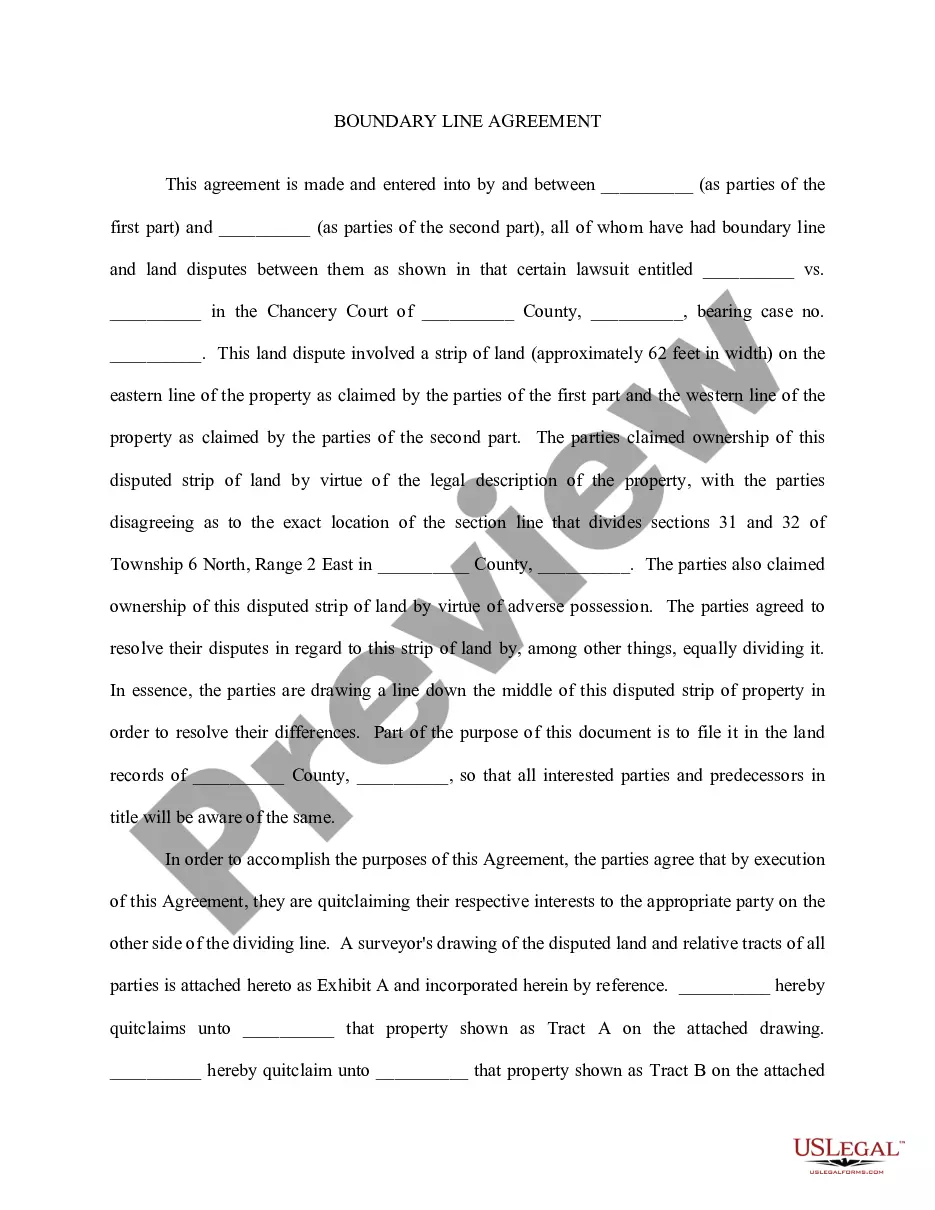
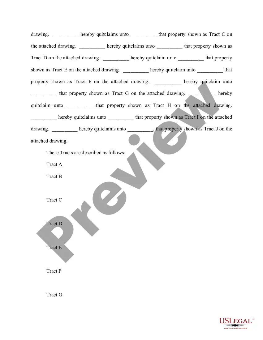
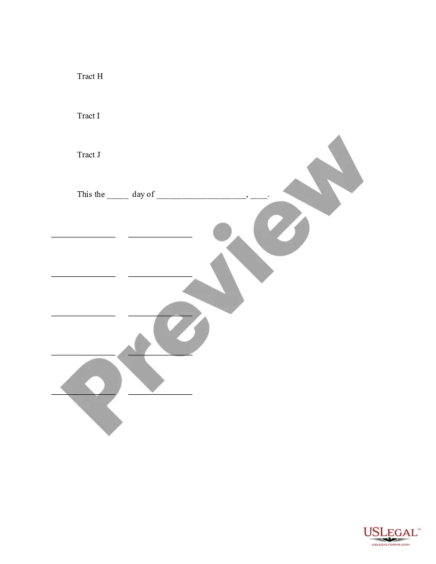
Vermont Boundary Line Agreement refers to a legal agreement that establishes the boundaries, limits, and divisions of the state of Vermont with neighboring states or jurisdictions. It aims to define and settle territorial disputes regarding the exact location of boundaries, ensuring clarity and accuracy in geographical delineation. Vermont, as a state within the United States, shares borders with New York, New Hampshire, and Massachusetts. Over time, disputes can arise over the exact positions of these boundaries, leading to the need for formal agreements known as Vermont Boundary Line Agreements. Various types of Vermont Boundary Line Agreements exist, depending on the specific border being addressed. These agreements are typically named after the neighboring state or jurisdiction involved in the boundary dispute. Some notable types include: 1. Vermont-New York Boundary Line Agreement: This agreement focuses on the precise demarcation between Vermont and New York. It may involve considerations of geographical features, historical boundary markers, or landmarks. The agreement ensures that both states unanimously acknowledge and accept the defined boundary. 2. Vermont-New Hampshire Boundary Line Agreement: Similar to the one with New York, this agreement concerns the border between Vermont and New Hampshire. The two states may negotiate and settle disputes relating to boundary markers, survey data, historical records, and other relevant factors. 3. Vermont-Massachusetts Boundary Line Agreement: Specific to the border shared by Vermont and Massachusetts, this agreement works towards a mutual understanding regarding the location of this boundary. Historical documents, topographical analysis, previous boundary agreements, and local land ownership patterns can play a role in resolving disputes. These boundary line agreements often involve comprehensive surveys, conducted by experts specializing in land surveying, cartography, and geography. Advanced technological tools like Geographic Information Systems (GIS) aid in accurately mapping the territory, determining coordinates, and identifying the precise boundary points. It is crucial for Vermont Boundary Line Agreements to be officially ratified and legally binding to ensure consistent interpretation of borders, facilitate orderly governance, enable efficient law enforcement, and clarify jurisdiction issues. These agreements typically involve collaboration between relevant state agencies, government officials, legal representatives, and surveying experts from both Vermont and the neighboring state involved. Overall, Vermont Boundary Line Agreements serve as crucial legal instruments that settle and define the exact borders of Vermont with neighboring states, resolving any disputes in a mutually acceptable and geographically accurate manner.
Vermont Boundary Line Agreement
Description

How to fill out Vermont Boundary Line Agreement?
US Legal Forms - one of several largest libraries of authorized varieties in America - provides a wide array of authorized record layouts you are able to download or print. Making use of the site, you may get a huge number of varieties for enterprise and specific functions, categorized by categories, suggests, or keywords.You will find the most up-to-date versions of varieties like the Vermont Boundary Line Agreement in seconds.
If you already possess a membership, log in and download Vermont Boundary Line Agreement from the US Legal Forms library. The Down load option will appear on each develop you perspective. You get access to all earlier acquired varieties within the My Forms tab of your own account.
If you wish to use US Legal Forms the first time, listed here are basic directions to obtain started off:
- Make sure you have chosen the best develop for your personal town/county. Click on the Preview option to examine the form`s content material. Browse the develop description to actually have chosen the correct develop.
- In case the develop does not match your requirements, use the Search industry on top of the display to get the one which does.
- If you are satisfied with the form, affirm your option by clicking on the Purchase now option. Then, pick the costs program you prefer and provide your credentials to register for an account.
- Approach the deal. Utilize your credit card or PayPal account to complete the deal.
- Pick the format and download the form on your own system.
- Make modifications. Load, revise and print and sign the acquired Vermont Boundary Line Agreement.
Every design you put into your bank account does not have an expiry time and is the one you have permanently. So, in order to download or print yet another backup, just proceed to the My Forms portion and click on the develop you will need.
Gain access to the Vermont Boundary Line Agreement with US Legal Forms, the most comprehensive library of authorized record layouts. Use a huge number of skilled and express-distinct layouts that fulfill your organization or specific needs and requirements.