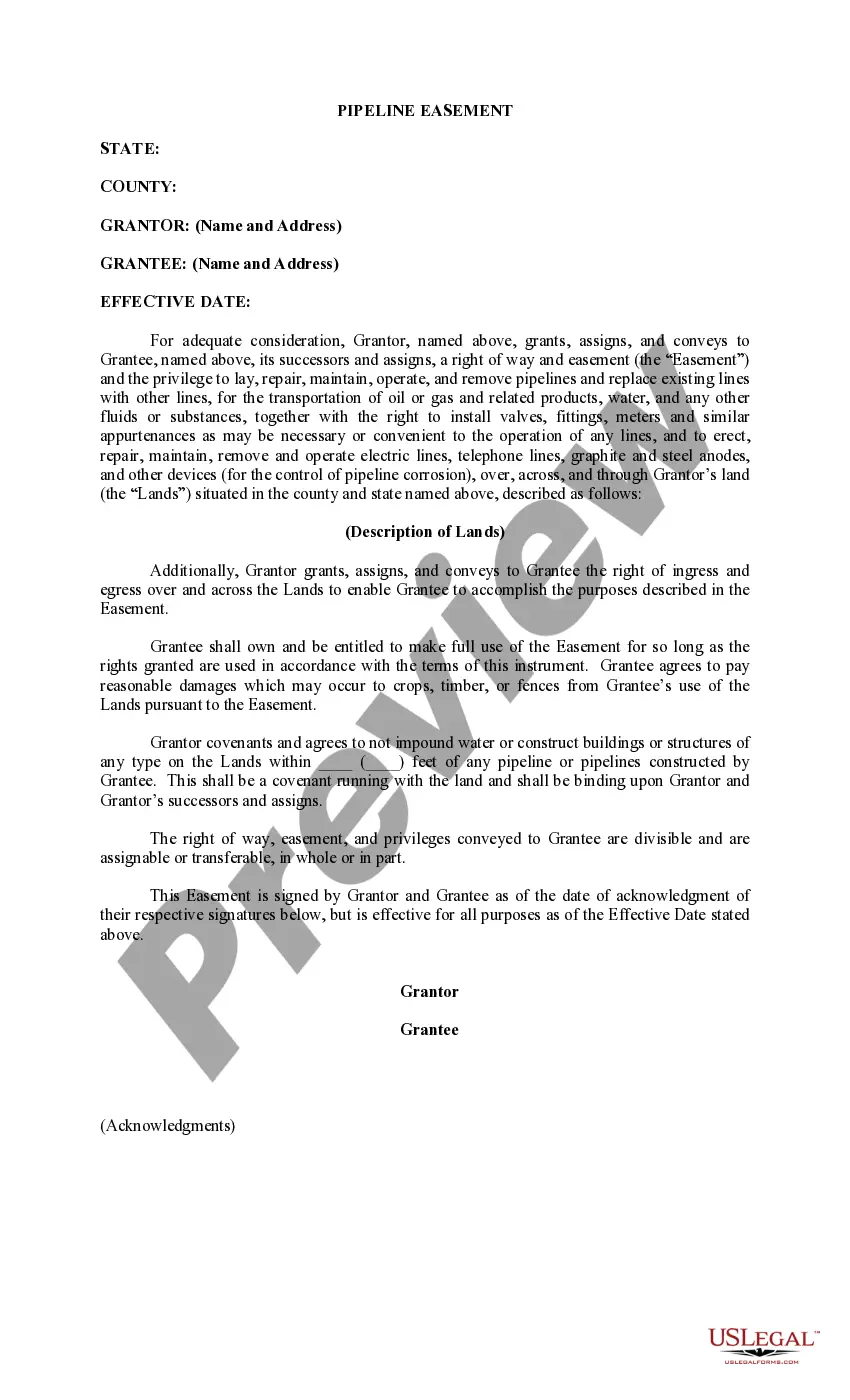
Vermont Permission to Survey (Pipeline Right of Way)
Description
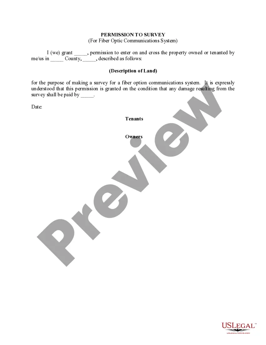


How to fill out Permission To Survey (Pipeline Right Of Way)?
Are you in the situation the place you require documents for possibly company or personal uses virtually every working day? There are tons of legal file web templates accessible on the Internet, but locating ones you can rely isn`t simple. US Legal Forms delivers 1000s of type web templates, like the Vermont Permission to Survey (Pipeline Right of Way), which can be composed in order to meet state and federal specifications.
Should you be already informed about US Legal Forms site and get your account, just log in. Next, you are able to download the Vermont Permission to Survey (Pipeline Right of Way) template.
If you do not come with an accounts and would like to begin using US Legal Forms, abide by these steps:
- Find the type you will need and make sure it is for that appropriate city/region.
- Make use of the Preview switch to review the shape.
- Look at the explanation to actually have chosen the right type.
- When the type isn`t what you are looking for, take advantage of the Look for industry to get the type that fits your needs and specifications.
- Whenever you find the appropriate type, click Get now.
- Choose the prices strategy you would like, fill out the specified details to make your bank account, and pay for the order using your PayPal or Visa or Mastercard.
- Select a convenient paper format and download your version.
Discover every one of the file web templates you have purchased in the My Forms menu. You may get a extra version of Vermont Permission to Survey (Pipeline Right of Way) any time, if needed. Just click the essential type to download or print the file template.
Use US Legal Forms, by far the most considerable selection of legal kinds, to save time as well as steer clear of errors. The services delivers expertly created legal file web templates which can be used for a range of uses. Make your account on US Legal Forms and commence generating your daily life easier.
Form popularity
FAQ
In traffic law, right of way is the right to proceed; also, ?right-of-way.? Many state statutes lay out various circumstances when drivers must yield the right of way, and most states grant pedestrians the right of way.
Subchapter 004 : Right of Way The driver of a vehicle about to enter or cross a highway from an alley, building, private road, or driveway shall yield the right of way to all vehicles and vulnerable users approaching on the highway. (Added 1971, No. 258 (Adj. Sess.), § 3, eff.
After having stopped, the driver shall yield the right of way to any vehicle that has entered the intersection from another highway or that is approaching so closely on said highway as to constitute an immediate hazard during the time when such driver is moving across or within the intersection.
A permit is needed for nearly any activity in or directly affecting the highway right-of-way, including (but not necessarily limited to) creation or modification of a driveway, repaving a portion of a driveway within the right-of-way, placement of structures, placement or grading of earthen material, discharge of water ...
An action, injunction, or other enforcement proceeding by a municipality relating to the failure to obtain or comply with the terms and conditions of any permit issued by a municipality pursuant to this section shall be instituted within 15 years from the date the alleged violation first occurred and not thereafter.
Vermont Statutes, Title 19, Section 702 reads, ?the right-of-way for each highway and trail shall be three rods wide unless otherwise properly recorded.? A rod is a unit of measure equaling 16.5 feet, so the assumed minimum width of the right-of-way is 49.5 feet.
")