This lease rider form may be used when you are involved in a lease transaction, and have made the decision to utilize the form of Oil and Gas Lease presented to you by the Lessee, and you want to include additional provisions to that Lease form to address specific concerns you may have, or place limitations on the rights granted the Lessee in the “standard” lease form.
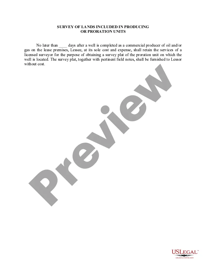
The Wisconsin Survey of Lands is a crucial component when it comes to determining producing or proration units in the state. This survey plays a vital role in ensuring accurate management and allocation of land resources for various purposes, particularly in the oil and gas industry. By conducting a detailed description of the Wisconsin Survey of Lands, we can understand its significance and the different types included within the producing or proration units. The Wisconsin Survey of Lands is an extensive survey conducted by the Wisconsin Department of Natural Resources (DNR) to assess and categorize the land areas within the state. It involves geologically mapping the region, identifying specific land formations, and determining the boundaries of individual parcels of land. This survey provides valuable information for multiple sectors, including oil and gas exploration, mineral extraction, land development, and environmental conservation. Within the producing or proration units, there are several types of the Wisconsin Survey of Lands that are considered. These types include: 1. Geological Surveys: This type provides comprehensive information on the geology of a particular land area. It involves studying the rock formations, subsurface structures, and identifying potential hydrocarbon-bearing layers. The Geological Survey helps in understanding the potential for oil and gas reserves within a specific unit. 2. Topographic Surveys: Topographic surveys focus on determining and mapping the natural and man-made features of the land surface. These include elevation changes, water bodies, vegetation, roads, and infrastructure. Such surveys aid in assessing the physical characteristics of a producing or proration unit and understanding its terrain. 3. Boundary Surveys: Boundary surveys are conducted to establish legal property lines between different land parcels. These surveys define the exact boundaries where producing or proration units may be designated. Precise delineation of the boundaries prevents any disputes or overlapping claims, ensuring a fair distribution of resources. 4. Environmental Surveys: Environmental surveys assess the ecological aspects of a land area within a producing or proration unit. It includes studying the flora and fauna, wetlands, surface water quality, and any endangered species present in the surveyed region. This information aids in ecological conservation and sustainable resource management. 5. Land Use Surveys: Land use surveys determine the current and potential uses of a given area within a producing or proration unit. This type of survey identifies land zoning, restrictions, and any other factors that may influence land usage. Understanding land use is crucial for the development of an efficient and sustainable management plan. Overall, the Wisconsin Survey of Lands is a comprehensive evaluation of various aspects related to land resources, encompassing geological, topographic, boundary, environmental, and land use surveys. These surveys aim to provide detailed information required to establish producing or proration units, manage resource allocation effectively, and ensure the sustainable utilization of land within the state of Wisconsin.The Wisconsin Survey of Lands is a crucial component when it comes to determining producing or proration units in the state. This survey plays a vital role in ensuring accurate management and allocation of land resources for various purposes, particularly in the oil and gas industry. By conducting a detailed description of the Wisconsin Survey of Lands, we can understand its significance and the different types included within the producing or proration units. The Wisconsin Survey of Lands is an extensive survey conducted by the Wisconsin Department of Natural Resources (DNR) to assess and categorize the land areas within the state. It involves geologically mapping the region, identifying specific land formations, and determining the boundaries of individual parcels of land. This survey provides valuable information for multiple sectors, including oil and gas exploration, mineral extraction, land development, and environmental conservation. Within the producing or proration units, there are several types of the Wisconsin Survey of Lands that are considered. These types include: 1. Geological Surveys: This type provides comprehensive information on the geology of a particular land area. It involves studying the rock formations, subsurface structures, and identifying potential hydrocarbon-bearing layers. The Geological Survey helps in understanding the potential for oil and gas reserves within a specific unit. 2. Topographic Surveys: Topographic surveys focus on determining and mapping the natural and man-made features of the land surface. These include elevation changes, water bodies, vegetation, roads, and infrastructure. Such surveys aid in assessing the physical characteristics of a producing or proration unit and understanding its terrain. 3. Boundary Surveys: Boundary surveys are conducted to establish legal property lines between different land parcels. These surveys define the exact boundaries where producing or proration units may be designated. Precise delineation of the boundaries prevents any disputes or overlapping claims, ensuring a fair distribution of resources. 4. Environmental Surveys: Environmental surveys assess the ecological aspects of a land area within a producing or proration unit. It includes studying the flora and fauna, wetlands, surface water quality, and any endangered species present in the surveyed region. This information aids in ecological conservation and sustainable resource management. 5. Land Use Surveys: Land use surveys determine the current and potential uses of a given area within a producing or proration unit. This type of survey identifies land zoning, restrictions, and any other factors that may influence land usage. Understanding land use is crucial for the development of an efficient and sustainable management plan. Overall, the Wisconsin Survey of Lands is a comprehensive evaluation of various aspects related to land resources, encompassing geological, topographic, boundary, environmental, and land use surveys. These surveys aim to provide detailed information required to establish producing or proration units, manage resource allocation effectively, and ensure the sustainable utilization of land within the state of Wisconsin.