Salt Lake City, Utah, is not only the capital city but also the most populous municipality in the state. Salt Lake City is located in Salt Lake County and is nestled between the Great Salt Lake and the stunning Wasatch Mountains. Known for its outdoor recreational opportunities, vibrant cultural scene, and historical significance, Salt Lake City is also home to various survey maps that allow individuals to navigate and explore the area. A Sample Letter regarding Survey Maps in Salt Lake City, Utah, can provide valuable information to individuals who seek accurate land measurements, property boundaries, and topographical details. Such a letter may include the following relevant details: 1. Introduction: Begin the letter with a polite and professional salutation, addressing the recipient. 2. Purpose: Clearly state the purpose of the letter, emphasizing that it is in reference to survey maps in Salt Lake City. 3. Types of Survey Maps: Mention different types of survey maps available in Salt Lake City. Some examples include: a. Topographic Maps: These maps illustrate the physical features of the land, such as contours, terrain, water bodies, and vegetation. They are popular among hikers, geologists, and environmentalists. b. Property Boundary Maps: These maps indicate the precise boundaries of properties, providing essential information for landowners, developers, and real estate professionals. c. Geodetic Control Maps: These maps establish survey control points with accurate latitude, longitude, and elevation data. They are crucial for geodetic surveyors and engineers working on large-scale construction projects. d. Cadastral Maps: These maps depict the division of land into parcels, showing ownership details, tax parcels, and possible land uses. They serve as key references for governmental agencies, land administrators, and land buyers. e. Transportation Maps: These maps highlight highways, roads, public transportation routes, and other transportation-related information to assist commuters, tourists, and urban planners. 4. Availability: Provide information on where and how these survey maps can be accessed. Identify specific resources, such as government offices, online platforms, or local libraries, where individuals can obtain or access the desired maps. 5. Additional Resources: Mention any additional resources that can assist individuals in understanding and utilizing survey maps effectively. This could include websites, tutorials, or guides that provide detailed explanations and instructions. 6. Conclusion: Close the letter by expressing gratitude for the recipient's time and attention. Offer contact information in case they have further questions or require additional assistance. Overall, a detailed Sample Letter regarding Survey Maps in Salt Lake City, Utah, should address the various types of maps available, where to find them, and guide recipients on how to make the best use of these valuable resources.
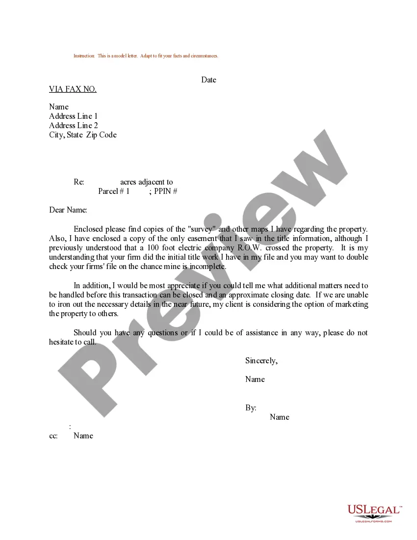
Salt Lake Utah Sample Letter regarding Survey Maps
Description
How to fill out Salt Lake Utah Sample Letter Regarding Survey Maps?
Preparing legal paperwork can be burdensome. In addition, if you decide to ask a lawyer to draft a commercial agreement, papers for proprietorship transfer, pre-marital agreement, divorce papers, or the Salt Lake Sample Letter regarding Survey Maps, it may cost you a lot of money. So what is the most reasonable way to save time and money and draft legitimate forms in total compliance with your state and local regulations? US Legal Forms is a perfect solution, whether you're searching for templates for your individual or business needs.
US Legal Forms is the most extensive online library of state-specific legal documents, providing users with the up-to-date and professionally verified forms for any use case gathered all in one place. Consequently, if you need the recent version of the Salt Lake Sample Letter regarding Survey Maps, you can easily locate it on our platform. Obtaining the papers takes a minimum of time. Those who already have an account should check their subscription to be valid, log in, and pick the sample by clicking on the Download button. If you haven't subscribed yet, here's how you can get the Salt Lake Sample Letter regarding Survey Maps:
- Look through the page and verify there is a sample for your area.
- Examine the form description and use the Preview option, if available, to make sure it's the template you need.
- Don't worry if the form doesn't satisfy your requirements - search for the right one in the header.
- Click Buy Now once you find the required sample and select the best suitable subscription.
- Log in or sign up for an account to purchase your subscription.
- Make a payment with a credit card or through PayPal.
- Opt for the document format for your Salt Lake Sample Letter regarding Survey Maps and save it.
Once finished, you can print it out and complete it on paper or upload the template to an online editor for a faster and more practical fill-out. US Legal Forms allows you to use all the paperwork ever purchased many times - you can find your templates in the My Forms tab in your profile. Try it out now!