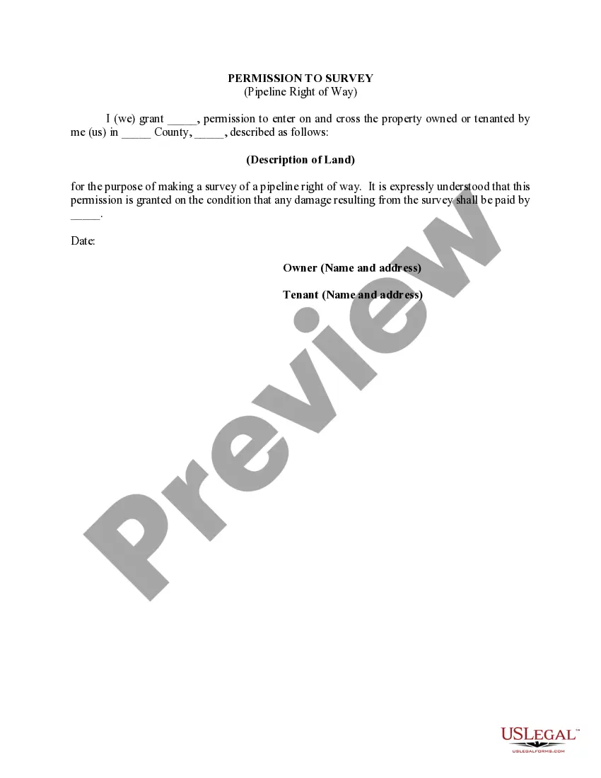
Clark Nevada Permission to Survey (Pipeline Right of Way) is a legal document obtained by individuals or organizations seeking permission to survey a designated parcel of land within Clark County, Nevada for the purpose of constructing a pipeline. The permission to survey is a crucial step in the process of obtaining the necessary rights and permits for pipeline development. It allows the applicant to conduct thorough assessments and surveys of the proposed right of way, ensuring that all aspects of the project align with environmental and regulatory guidelines. Key elements included in the Clark Nevada Permission to Survey (Pipeline Right of Way) may encompass the following: 1. Project Description: A detailed explanation of the pipeline project's purpose, length, and specific location within Clark County, Nevada. 2. Applicant Information: The name and contact details of the person or organization seeking permission to survey the pipeline right of way. 3. Property Description: A clear description of the particular parcel(s) of land to be surveyed, including legal descriptions, maps, and boundary details. 4. Environmental Impact Assessment: An assessment of the potential impact the project may have on the natural environment, including wildlife habitats, water bodies, and vegetation. This evaluation ensures compliance with local, state, and federal environmental regulations and identifies measures to mitigate any adverse effects. 5. Surveys and Investigations: A detailed outline of the proposed surveys and investigations to be carried out on the right of way, such as geotechnical investigations, topographic surveys, and ecological assessments. This section highlights the methods and techniques to be employed during data collection and analysis. 6. Safety Precautions: A section outlining the safety measures and protocols to be followed during the surveying activities to minimize risks to workers, nearby communities, and the environment. 7. Timeline and Duration: An estimated timeline for the completion of the survey works, which includes field surveys, data analysis, and report preparation. Different types of Clark Nevada Permission to Survey (Pipeline Right of Way) could exist based on the specific pipeline project requirements. For instance, there might be variations for different pipeline diameters, transport mediums (gas, oil, water), or tiers of governmental approvals involved in the process. By obtaining the Clark Nevada Permission to Survey (Pipeline Right of Way), applicants gain legal authorization to survey the proposed pipeline route, ensuring compliance with local regulations and environmental considerations. This comprehensive assessment facilitates informed decision-making throughout the pipeline development process, ultimately leading to the safe and successful construction of vital infrastructure in Clark County, Nevada.
Clark Nevada Permission to Survey (Pipeline Right of Way)
Description
How to fill out Clark Nevada Permission To Survey (Pipeline Right Of Way)?
Preparing legal documentation can be cumbersome. In addition, if you decide to ask a legal professional to write a commercial agreement, papers for ownership transfer, pre-marital agreement, divorce paperwork, or the Clark Permission to Survey (Pipeline Right of Way), it may cost you a fortune. So what is the best way to save time and money and create legitimate documents in total compliance with your state and local regulations? US Legal Forms is a perfect solution, whether you're searching for templates for your personal or business needs.
US Legal Forms is biggest online collection of state-specific legal documents, providing users with the up-to-date and professionally checked forms for any scenario gathered all in one place. Consequently, if you need the current version of the Clark Permission to Survey (Pipeline Right of Way), you can easily locate it on our platform. Obtaining the papers requires a minimum of time. Those who already have an account should check their subscription to be valid, log in, and pick the sample with the Download button. If you haven't subscribed yet, here's how you can get the Clark Permission to Survey (Pipeline Right of Way):
- Look through the page and verify there is a sample for your area.
- Examine the form description and use the Preview option, if available, to make sure it's the template you need.
- Don't worry if the form doesn't satisfy your requirements - look for the correct one in the header.
- Click Buy Now when you find the needed sample and pick the best suitable subscription.
- Log in or sign up for an account to pay for your subscription.
- Make a transaction with a credit card or through PayPal.
- Opt for the document format for your Clark Permission to Survey (Pipeline Right of Way) and download it.
When done, you can print it out and complete it on paper or upload the template to an online editor for a faster and more practical fill-out. US Legal Forms enables you to use all the paperwork ever obtained many times - you can find your templates in the My Forms tab in your profile. Try it out now!