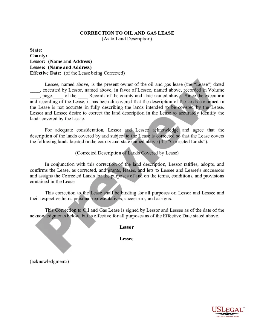
Hennepin County, Minnesota is a bustling region known for its rich natural resources and economic opportunities. Among the various legal documents governing land use, one important aspect that requires attention is the correction to oil and gas leases pertaining to land descriptions. This ensures accurate identification and delineation of the land involved in oil and gas operations, avoiding any ambiguity or potential conflicts. Oil and gas leases in Hennepin County, Minnesota may necessitate correcting land descriptions for several purposes: 1. Boundary Clarification: Land description corrections can involve clarifying or adjusting the boundaries of the oil and gas lease area. This ensures that the lease correctly identifies the specific land parcels involved, preventing any disputes or confusion in the future. 2. Parcel Consolidation: In some cases, properties used for oil and gas operations may consist of multiple contiguous parcels. Corrections to the land description allow for consolidating these individual tracts into a single, cohesive unit under the lease agreement. 3. Legal Accuracy: Land descriptions in oil and gas leases must comply with legal requirements and regulations. Corrections may be needed to rectify any inaccuracies, errors, or omissions in the original lease documents, ensuring legal compliance and maintaining the integrity of the lease agreement. 4. Survey or Mapping Updates: Over time, changes in the landscape or advancements in surveying technology may reveal discrepancies or inaccuracies in previously determined land descriptions. Corrections are then required to align the lease with the most up-to-date survey data, ensuring accurate depiction of the leased properties. 5. Affected Parcels: If adjacent or nearby properties undergo changes — such as subdivision, annexation by municipalities, or rezoning — the land descriptions in the oil and gas lease might require modifications accordingly. This ensures that the lease remains valid and applicable to the intended area of operation. 6. Correcting Errors: Simple human errors, such as typographical mistakes or inadvertent omissions in the original land descriptions, can be rectified by filing a correction to the oil and gas lease. This maintains the clarity and correctness of the lease agreement. In conclusion, oil and gas leases in Hennepin County, Minnesota may require corrections to land descriptions for various purposes, including boundary clarification, parcel consolidation, legal accuracy, survey updates, addressing changes in affected parcels, and remedying errors. By promptly addressing these corrections, landowners, lessees, and the local community benefit from clear and unambiguous documentation that facilitates responsible oil and gas exploration and extraction within the region.
Hennepin Minnesota Correction to Oil and Gas Lease As to Land Description
Description
How to fill out Hennepin Minnesota Correction To Oil And Gas Lease As To Land Description?
Drafting paperwork for the business or personal demands is always a big responsibility. When drawing up a contract, a public service request, or a power of attorney, it's essential to consider all federal and state laws and regulations of the specific area. Nevertheless, small counties and even cities also have legislative procedures that you need to consider. All these aspects make it burdensome and time-consuming to generate Hennepin Correction to Oil and Gas Lease As to Land Description without expert assistance.
It's easy to avoid spending money on lawyers drafting your paperwork and create a legally valid Hennepin Correction to Oil and Gas Lease As to Land Description by yourself, using the US Legal Forms web library. It is the most extensive online collection of state-specific legal templates that are professionally cheched, so you can be sure of their validity when picking a sample for your county. Earlier subscribed users only need to log in to their accounts to save the required form.
If you still don't have a subscription, adhere to the step-by-step guideline below to obtain the Hennepin Correction to Oil and Gas Lease As to Land Description:
- Look through the page you've opened and verify if it has the document you need.
- To achieve this, use the form description and preview if these options are presented.
- To locate the one that fits your needs, utilize the search tab in the page header.
- Double-check that the sample complies with juridical criteria and click Buy Now.
- Choose the subscription plan, then log in or create an account with the US Legal Forms.
- Use your credit card or PayPal account to pay for your subscription.
- Download the chosen file in the preferred format, print it, or fill it out electronically.
The great thing about the US Legal Forms library is that all the paperwork you've ever purchased never gets lost - you can get it in your profile within the My Forms tab at any time. Join the platform and easily obtain verified legal templates for any scenario with just a couple of clicks!