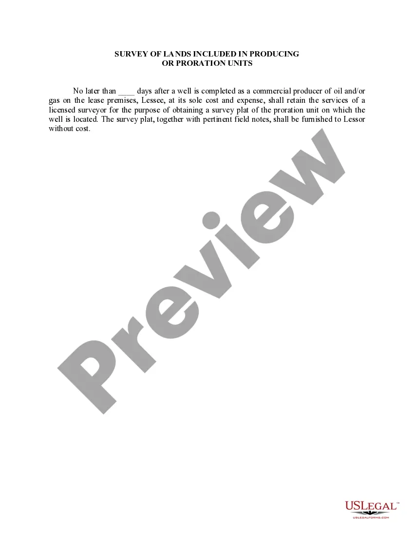
This lease rider form may be used when you are involved in a lease transaction, and have made the decision to utilize the form of Oil and Gas Lease presented to you by the Lessee, and you want to include additional provisions to that Lease form to address specific concerns you may have, or place limitations on the rights granted the Lessee in the “standard” lease form.
Houston, Texas is a vibrant and diverse city located in Southeast Texas, known for its booming energy industry, powerful economic presence, and a rich cultural tapestry. As one of the largest cities in the United States, Houston is home to various types of surveys of lands included in producing or proration units. One type of survey commonly found in Houston, Texas, is the metes and bounds survey. This survey utilizes precise measurements, angles, and compass directions to establish the boundaries of a specific tract of land. Metes and bounds surveys are often used in more rural areas or for specific property transfers. Another type of survey frequently utilized in Houston is the lot and block survey. This survey method divides land into individual lots, assigning them specific block numbers and noting their boundaries based on pre-determined streets, easements, or natural landmarks. Lot and block surveys are commonly employed in urban or suburban areas and are essential for city planning and subdivision development. Additionally, in Houston, Texas, another prevalent survey type is the public land survey system (PASS) survey. This system, established by the federal government, divides large portions of land using a grid pattern composed of principal meridians, baselines, ranges, townships, and sections. PASS surveys are often utilized in areas with state or federally owned land, such as national parks or public reserves. The cadastral survey is also essential in Houston. This type of survey focuses on accurately mapping and documenting land ownership boundaries, land divisions, and easements. Cadastral surveys play a crucial role in land registration, property tax assessment, and land administration, ensuring proper ownership and property rights. Houston, Texas, being located in an area prominent in the oil and gas industry, also includes surveys related to oil and gas production and exploration. These surveys are crucial for the development and management of producing or proration units, which determine the allocation of hydrocarbon resources among leaseholders. Such surveys often involve detailed assessments of geology, drilling data, reservoir engineering, and reservoir management to optimize production and ensure fair resource distribution. In conclusion, Houston, Texas, is characterized by diverse types of surveying, including metes and bounds, lot and block, public land system surveys, cadastral surveys, and surveys related to oil and gas production. These various surveying methods are crucial for land planning, property management, subdivision development, and the effective management of natural resources.Houston, Texas is a vibrant and diverse city located in Southeast Texas, known for its booming energy industry, powerful economic presence, and a rich cultural tapestry. As one of the largest cities in the United States, Houston is home to various types of surveys of lands included in producing or proration units. One type of survey commonly found in Houston, Texas, is the metes and bounds survey. This survey utilizes precise measurements, angles, and compass directions to establish the boundaries of a specific tract of land. Metes and bounds surveys are often used in more rural areas or for specific property transfers. Another type of survey frequently utilized in Houston is the lot and block survey. This survey method divides land into individual lots, assigning them specific block numbers and noting their boundaries based on pre-determined streets, easements, or natural landmarks. Lot and block surveys are commonly employed in urban or suburban areas and are essential for city planning and subdivision development. Additionally, in Houston, Texas, another prevalent survey type is the public land survey system (PASS) survey. This system, established by the federal government, divides large portions of land using a grid pattern composed of principal meridians, baselines, ranges, townships, and sections. PASS surveys are often utilized in areas with state or federally owned land, such as national parks or public reserves. The cadastral survey is also essential in Houston. This type of survey focuses on accurately mapping and documenting land ownership boundaries, land divisions, and easements. Cadastral surveys play a crucial role in land registration, property tax assessment, and land administration, ensuring proper ownership and property rights. Houston, Texas, being located in an area prominent in the oil and gas industry, also includes surveys related to oil and gas production and exploration. These surveys are crucial for the development and management of producing or proration units, which determine the allocation of hydrocarbon resources among leaseholders. Such surveys often involve detailed assessments of geology, drilling data, reservoir engineering, and reservoir management to optimize production and ensure fair resource distribution. In conclusion, Houston, Texas, is characterized by diverse types of surveying, including metes and bounds, lot and block, public land system surveys, cadastral surveys, and surveys related to oil and gas production. These various surveying methods are crucial for land planning, property management, subdivision development, and the effective management of natural resources.